|
FROM BESAL T0
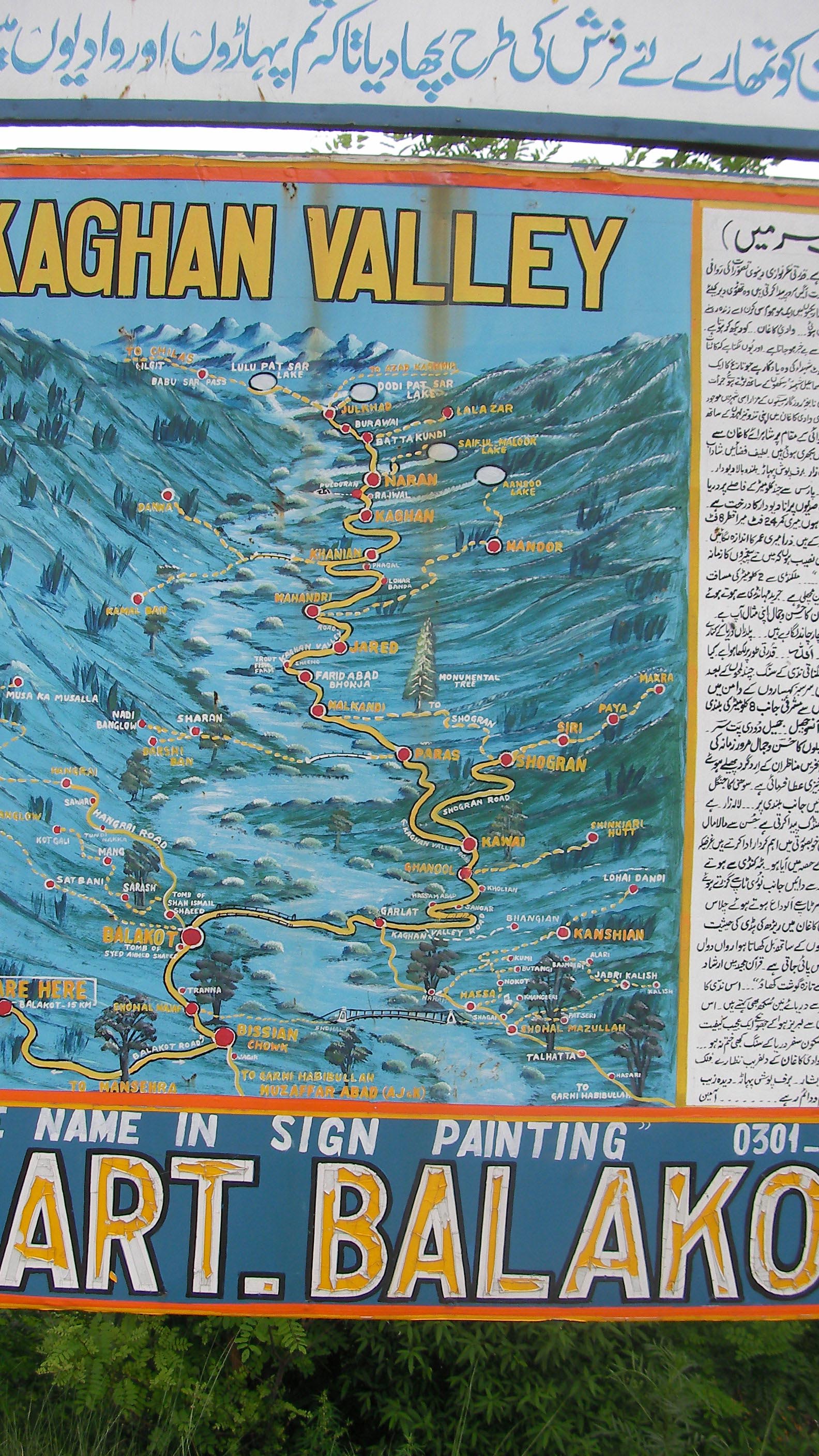
DODOPAT SAR LAKE AND THE TREKS AROUND
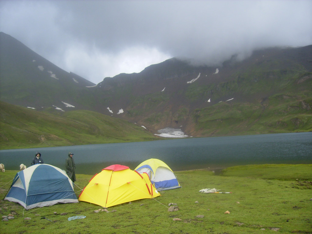
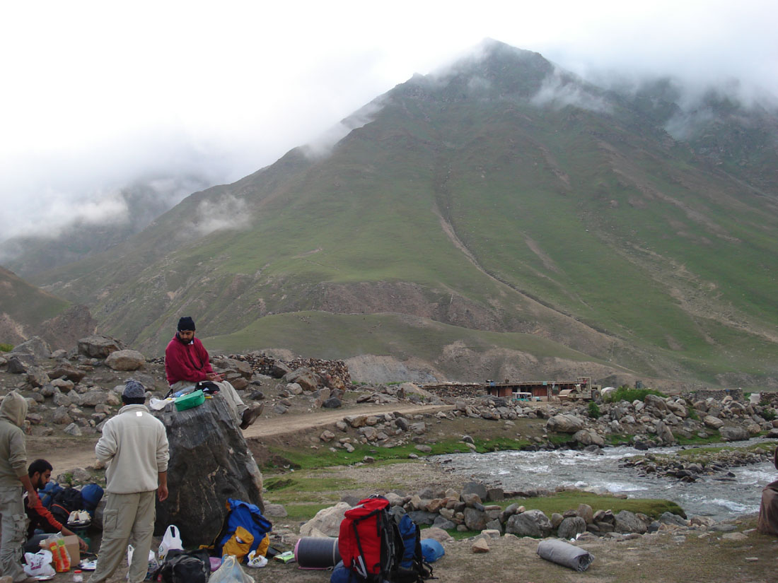
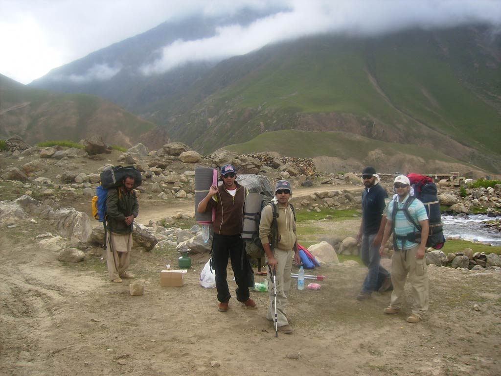
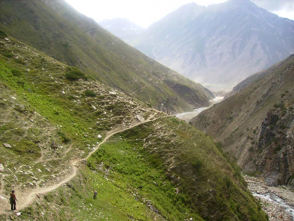
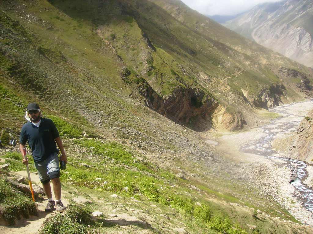
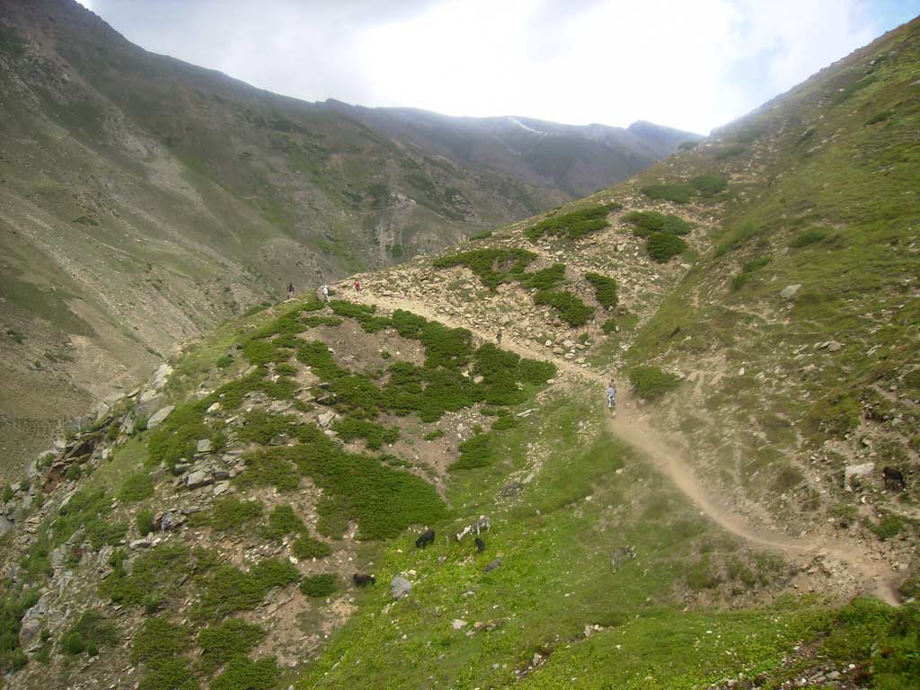
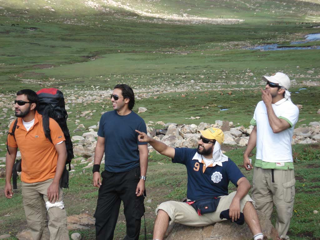
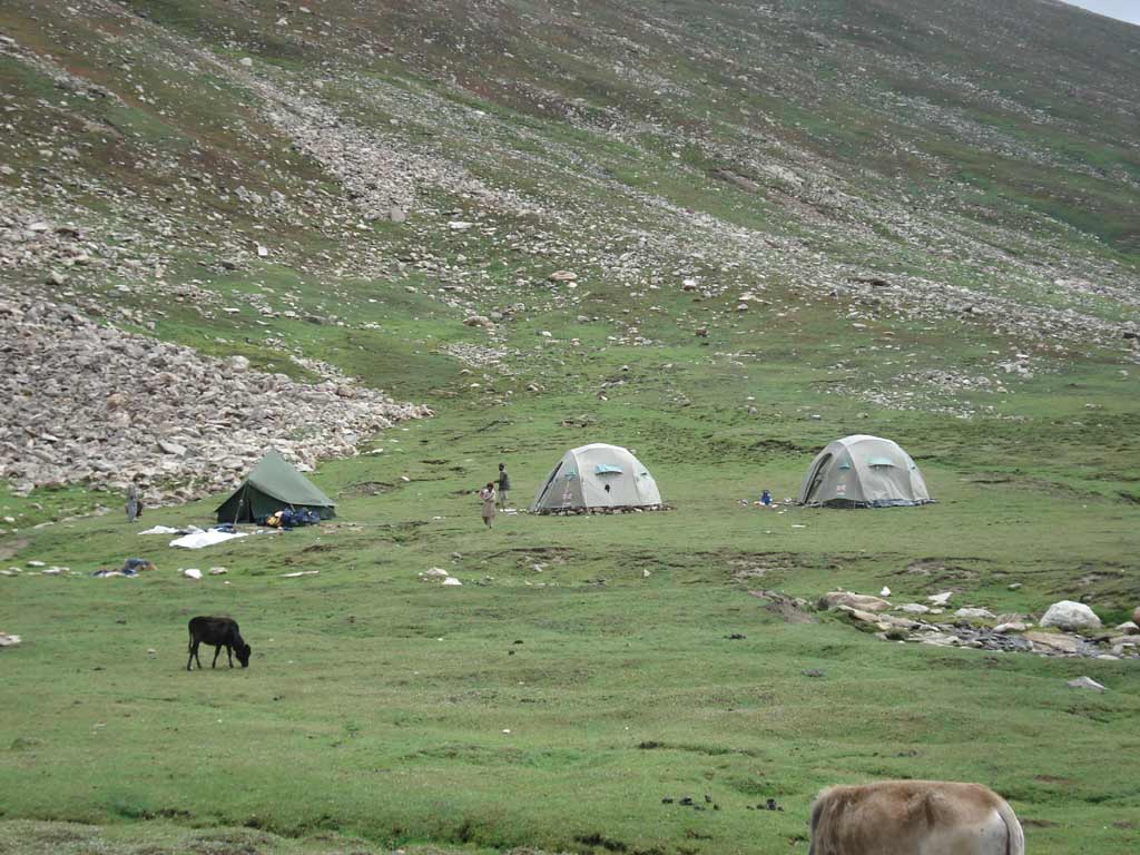
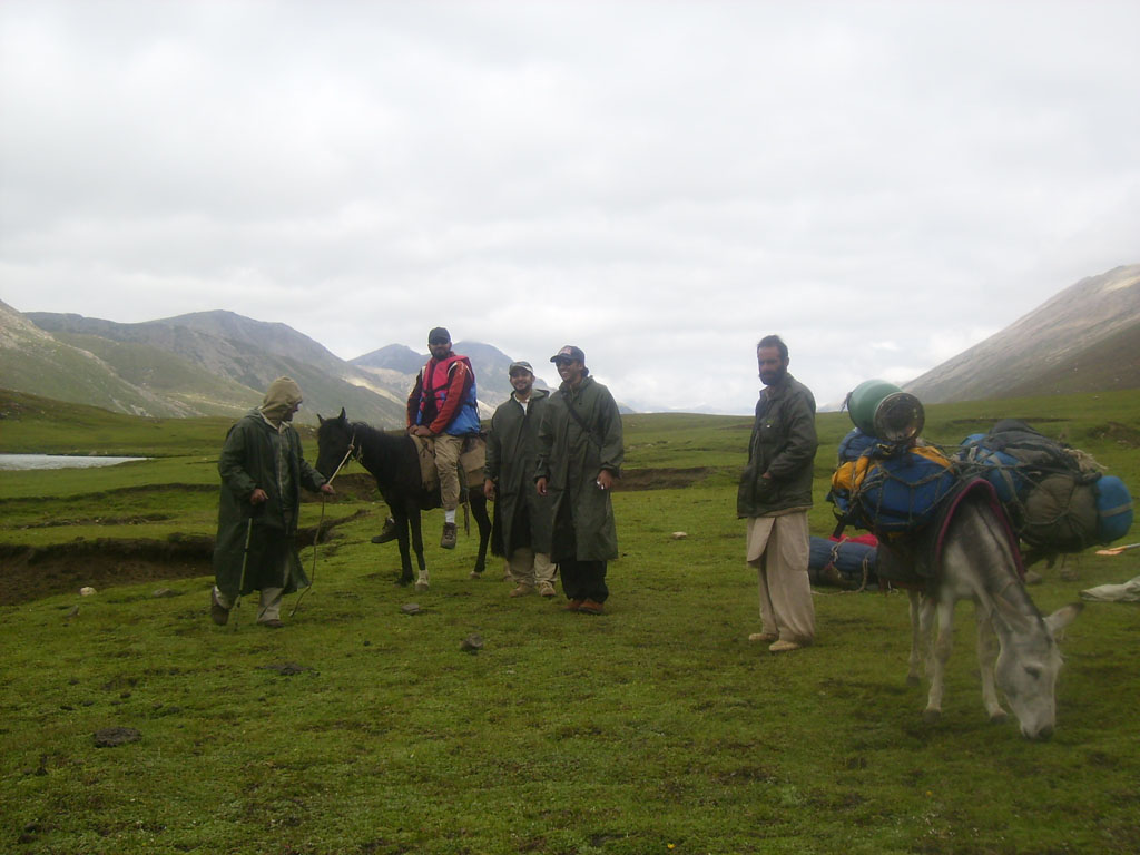
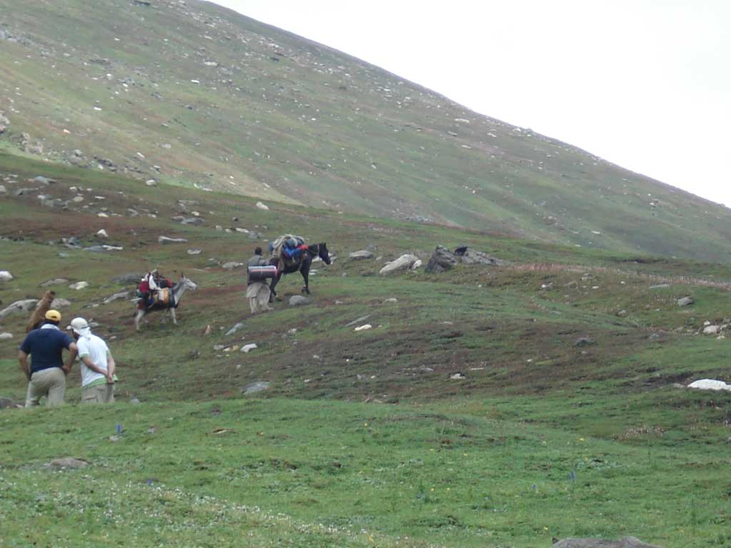
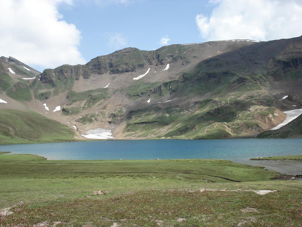
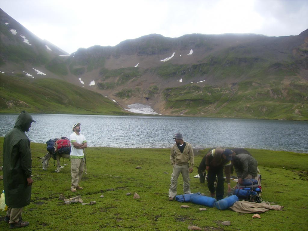
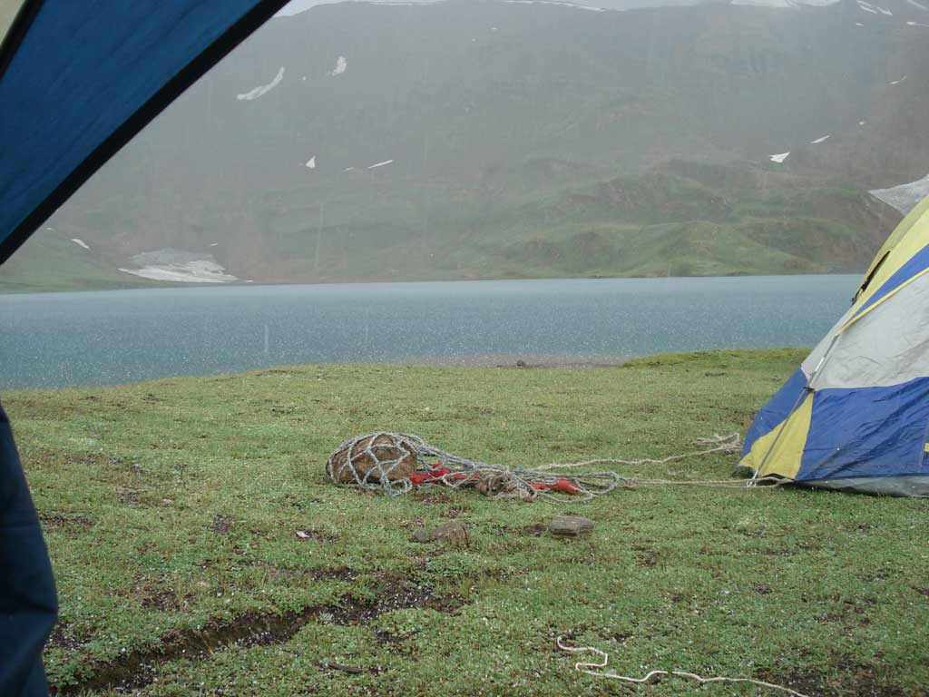
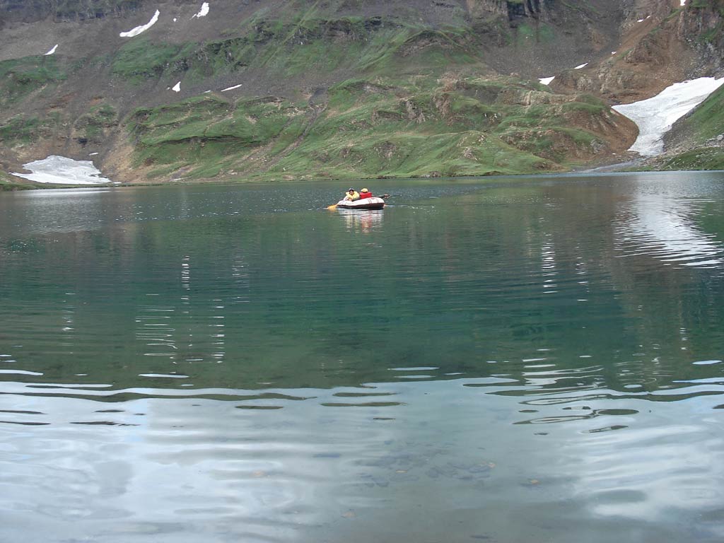
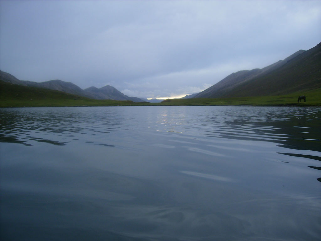
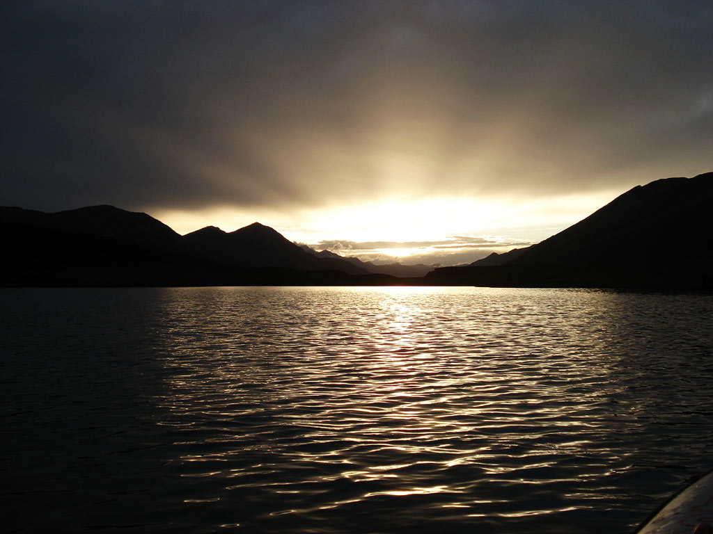
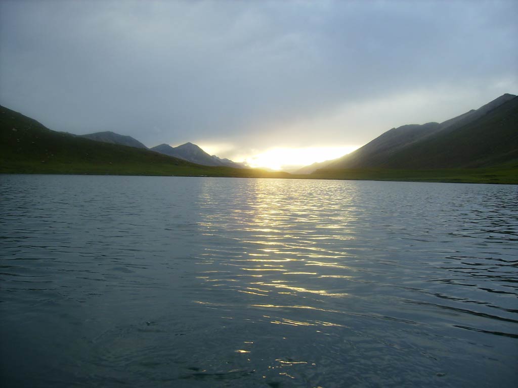
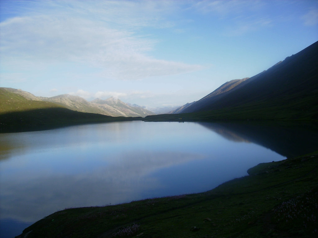
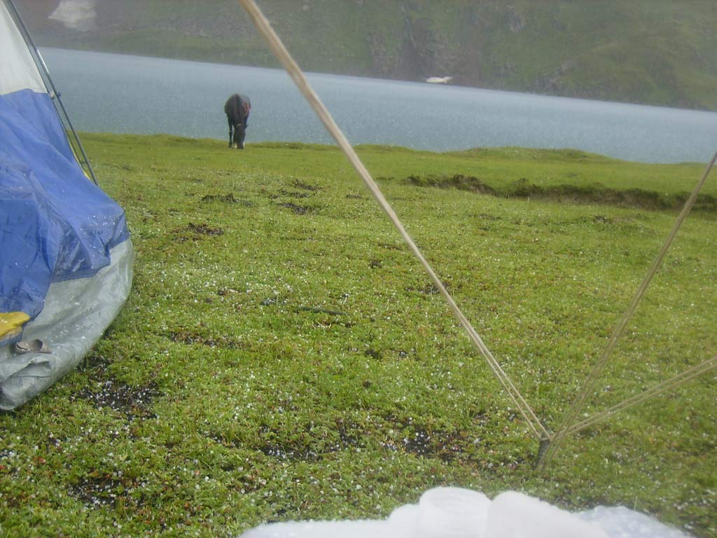
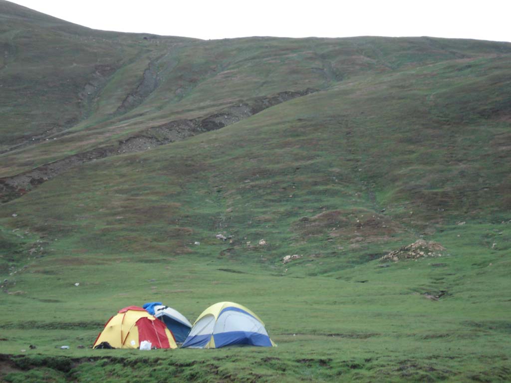
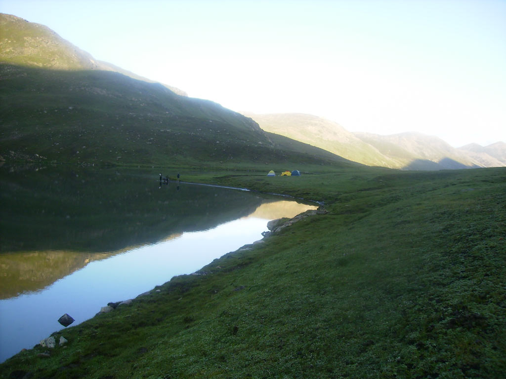
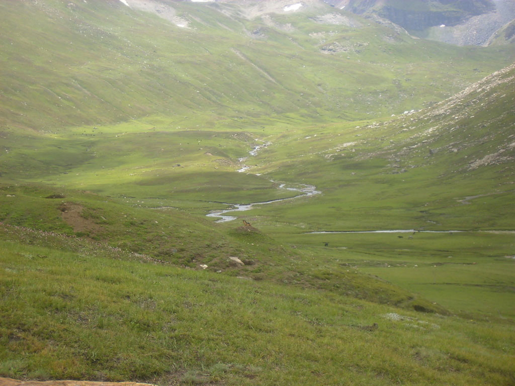
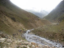
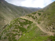
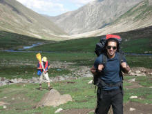
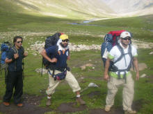
Tourists knowing even a little about Dodopat Sar lake, would never miss
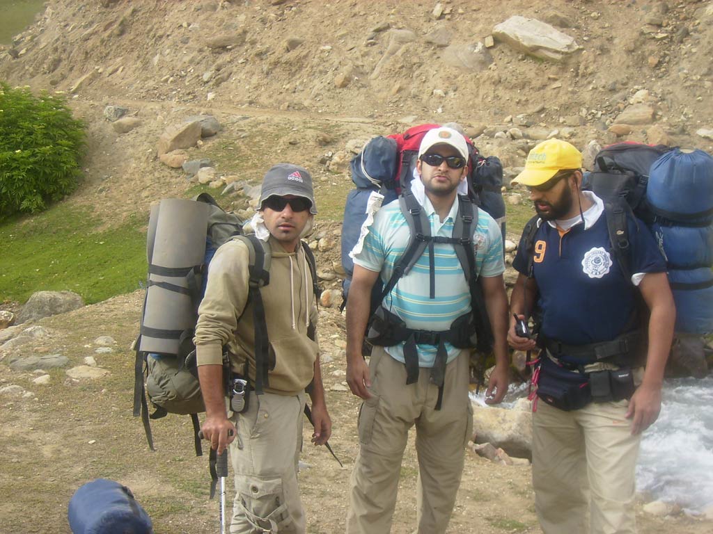
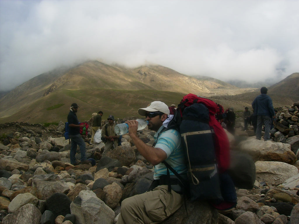
an opportunity to go there. It is six to eight hours trek, but it
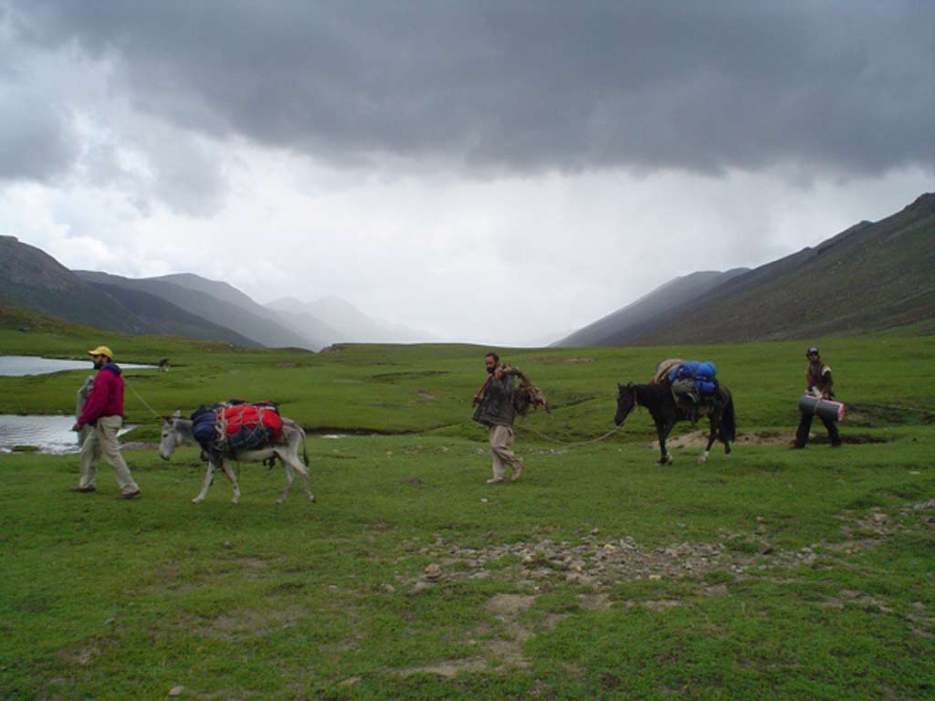
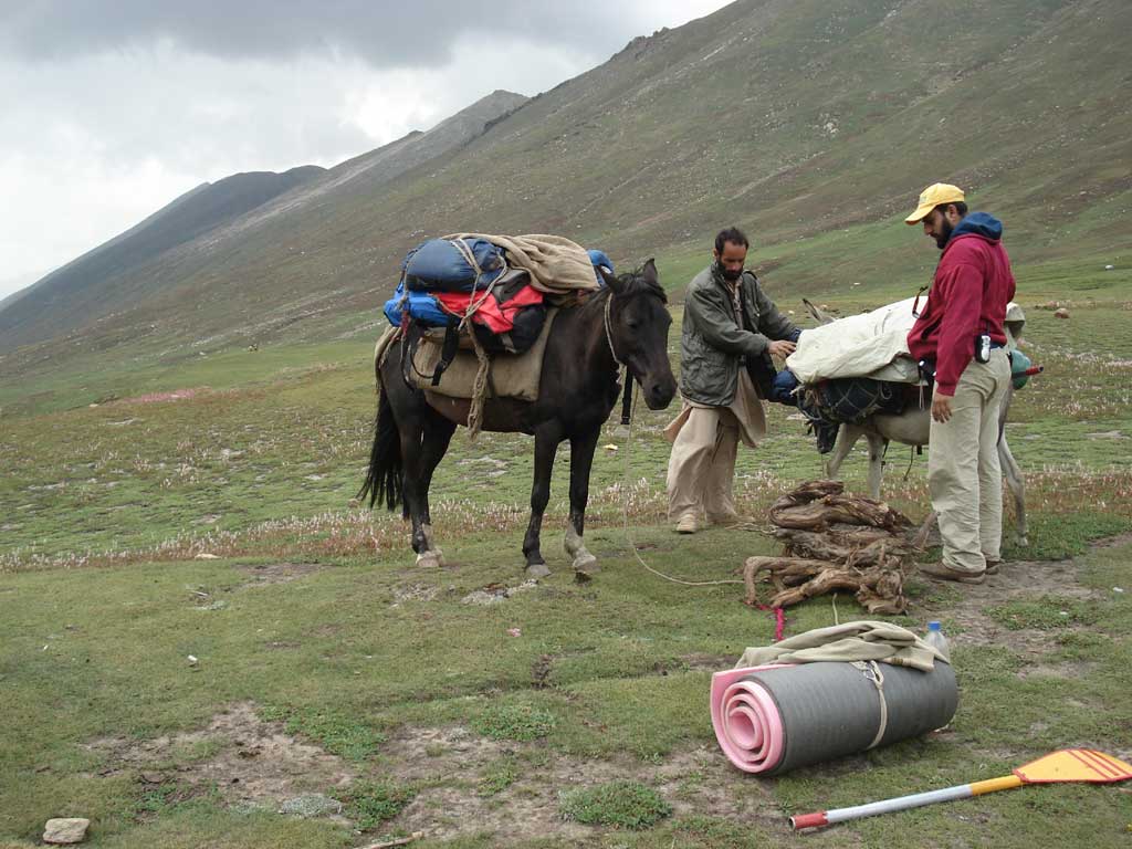
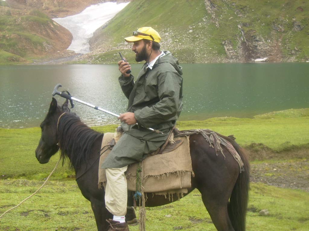
is advisable for the trekkers to take a guide cum porter and a pony.
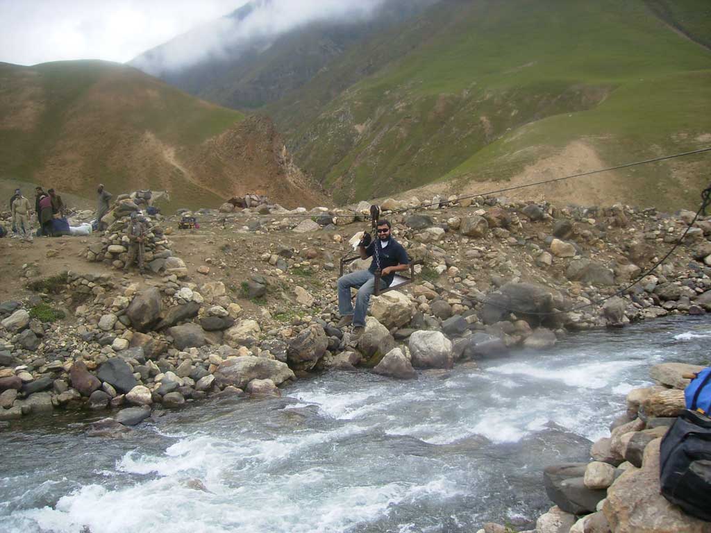
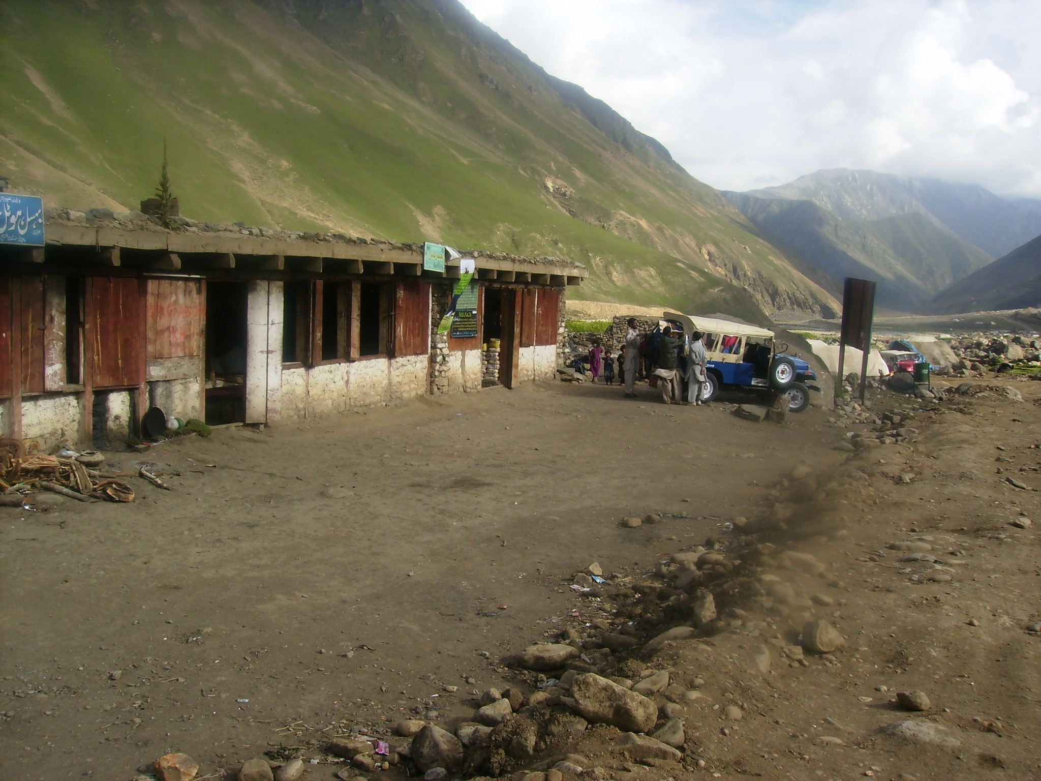
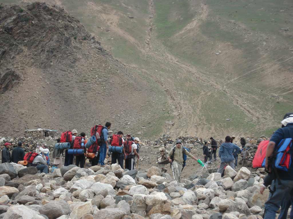
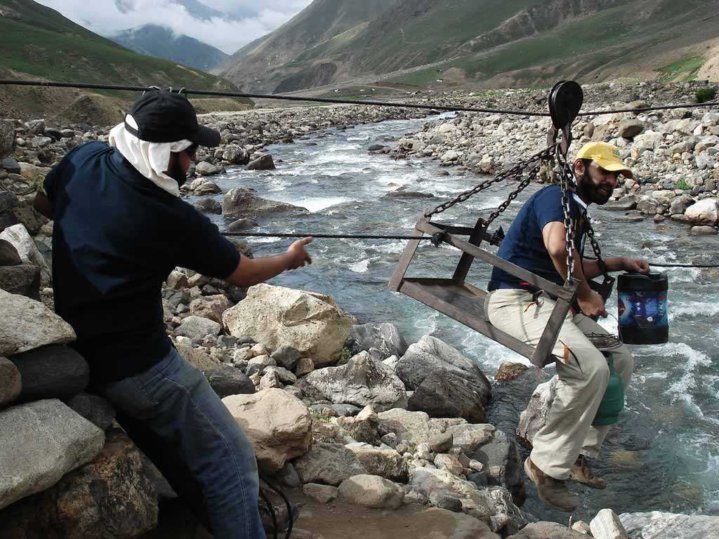
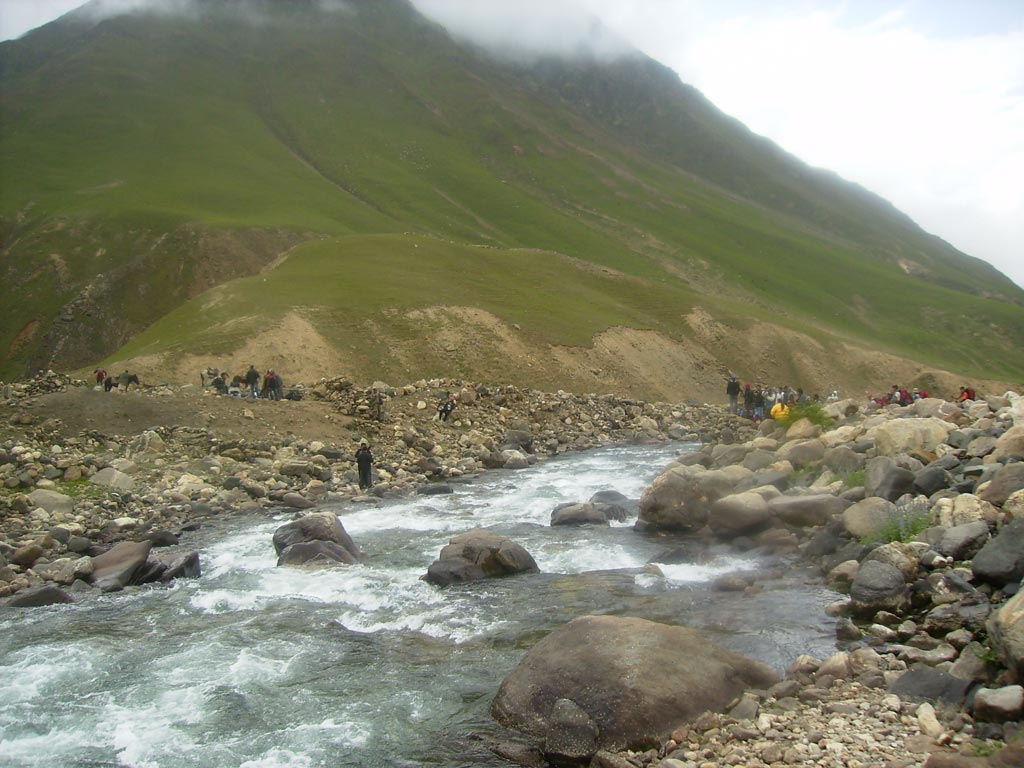
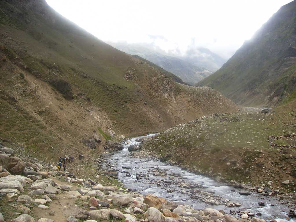
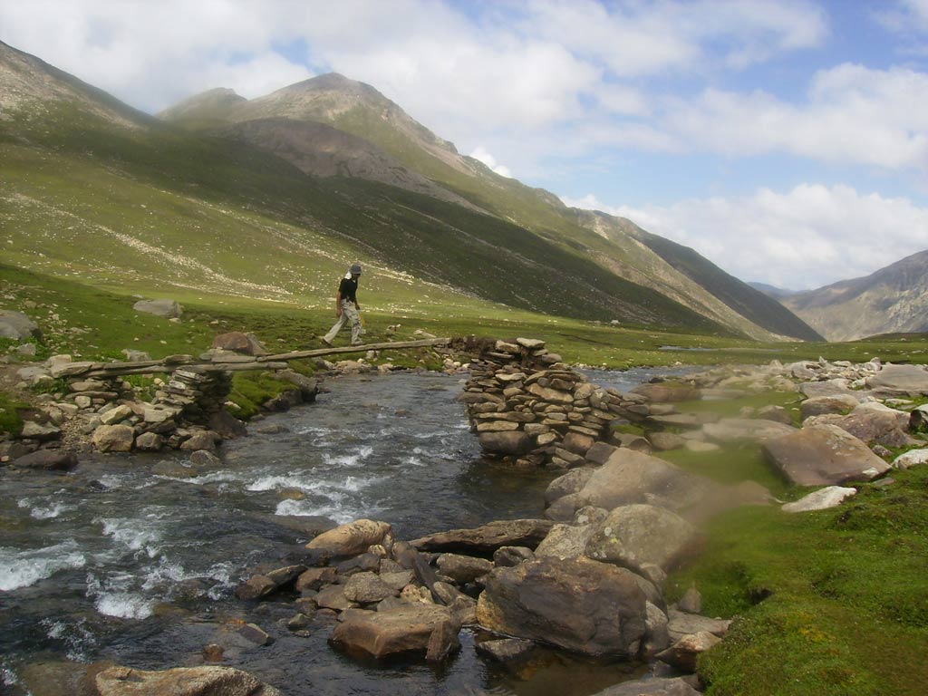
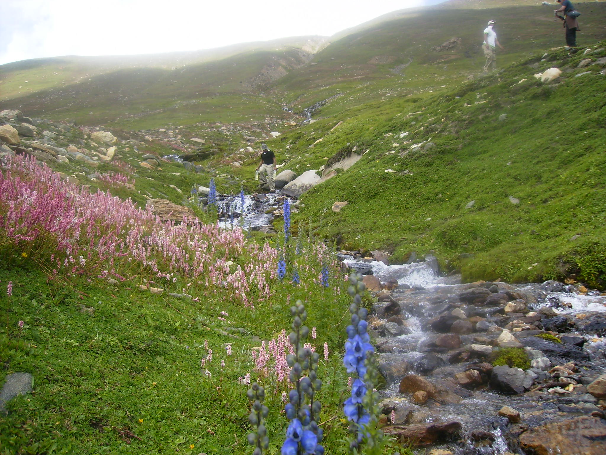
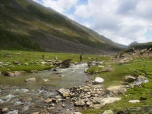
The trek is challenging. To get to the main trek, one has to cross
the river either over a snow pack by going up about a kilometer or so or
on a log at Besal. Dodopat Sar lake is considered to be one of the most
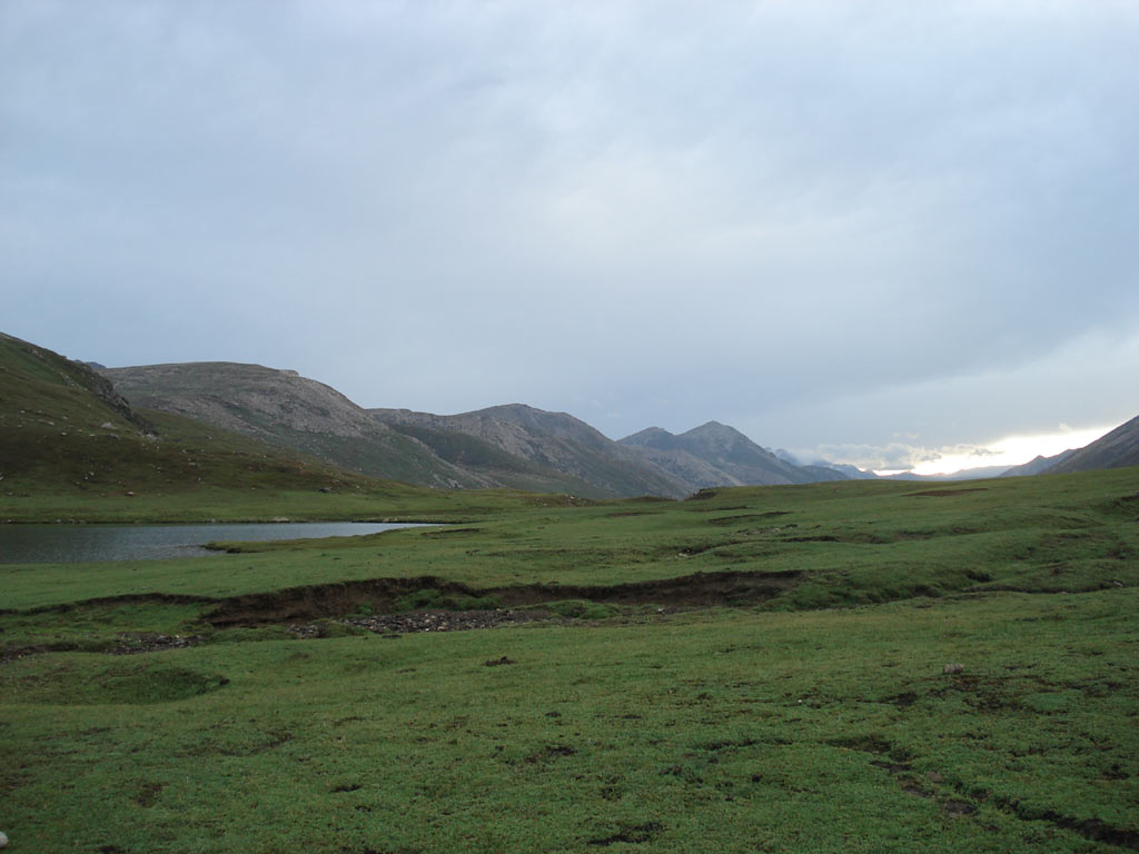
beautiful places in the valley. For most of the time, the lake is
covered with snow. There are a few houses of the locals around.
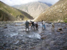
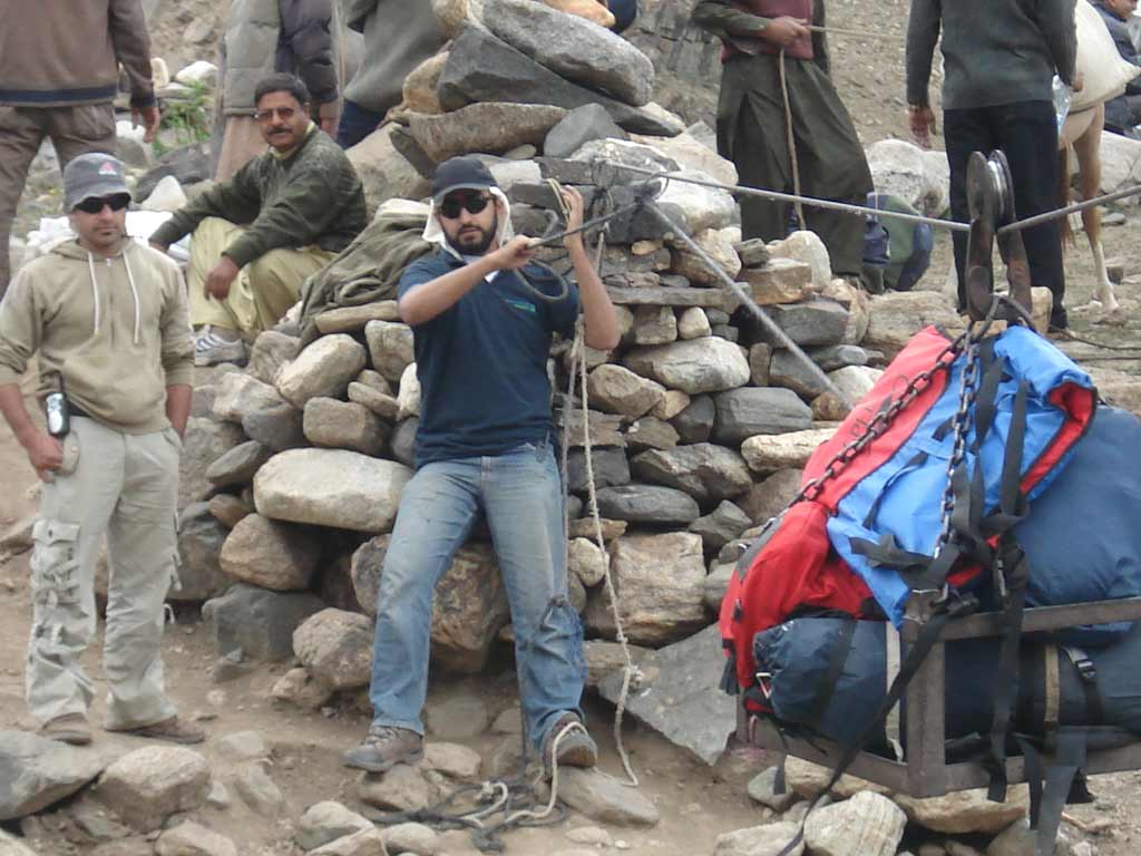
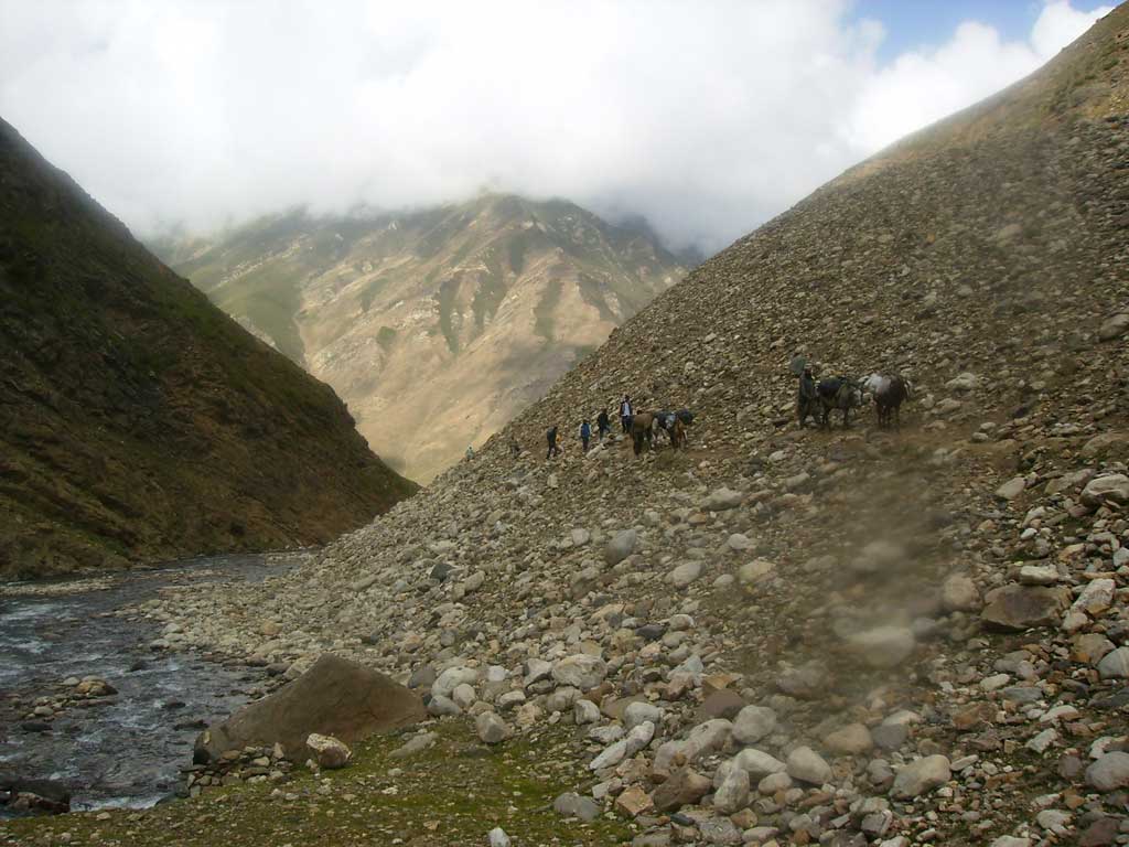
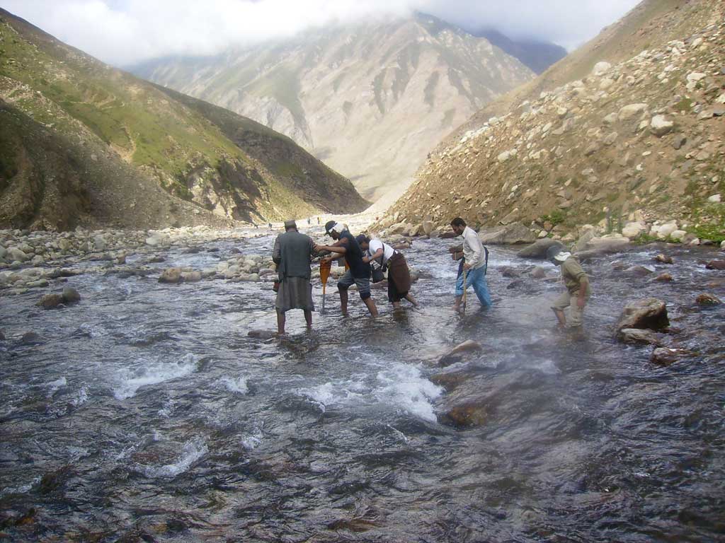
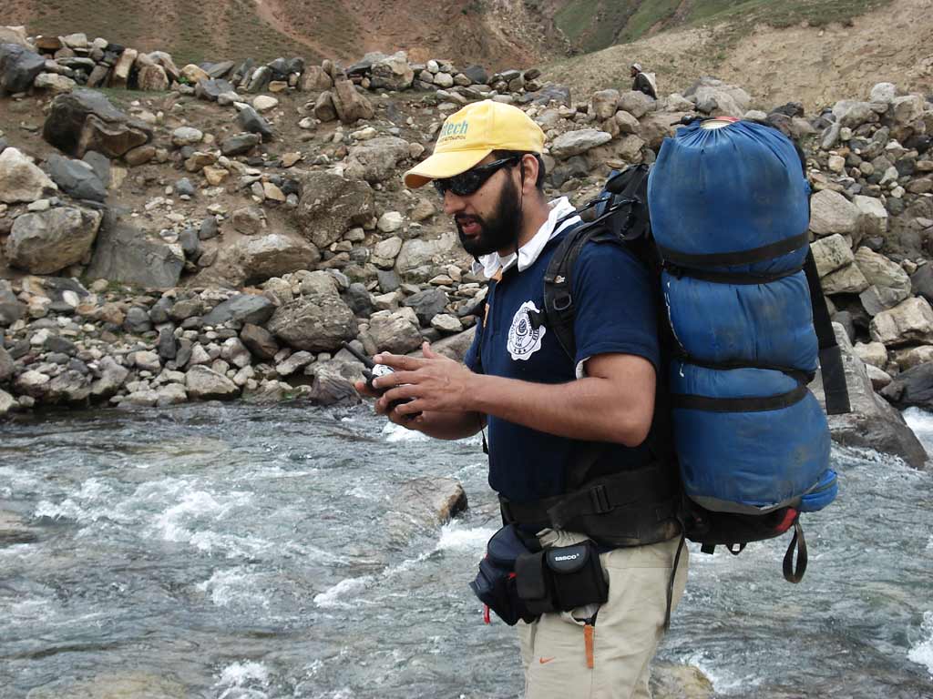
Need to cross the river after an hour-Very difficult , stones were very
slippery and water was extremely cold- |
Only chance is to help each other and cross the river bare feet. I tried
sitting position because water was only knee high. |
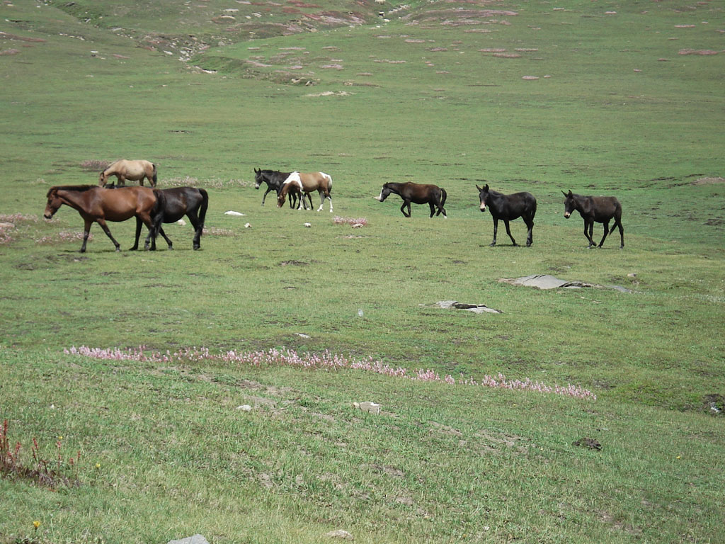
Instead of hiring lots of
porters, try to hire a donkey to safe cost |
 |
 |
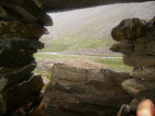
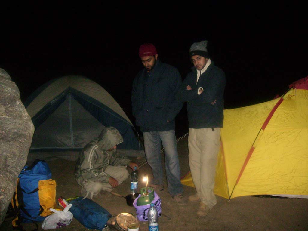
hail storm |

Taking shelter from the hail storm in a mosque |
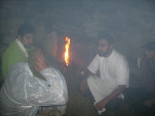
emergency |

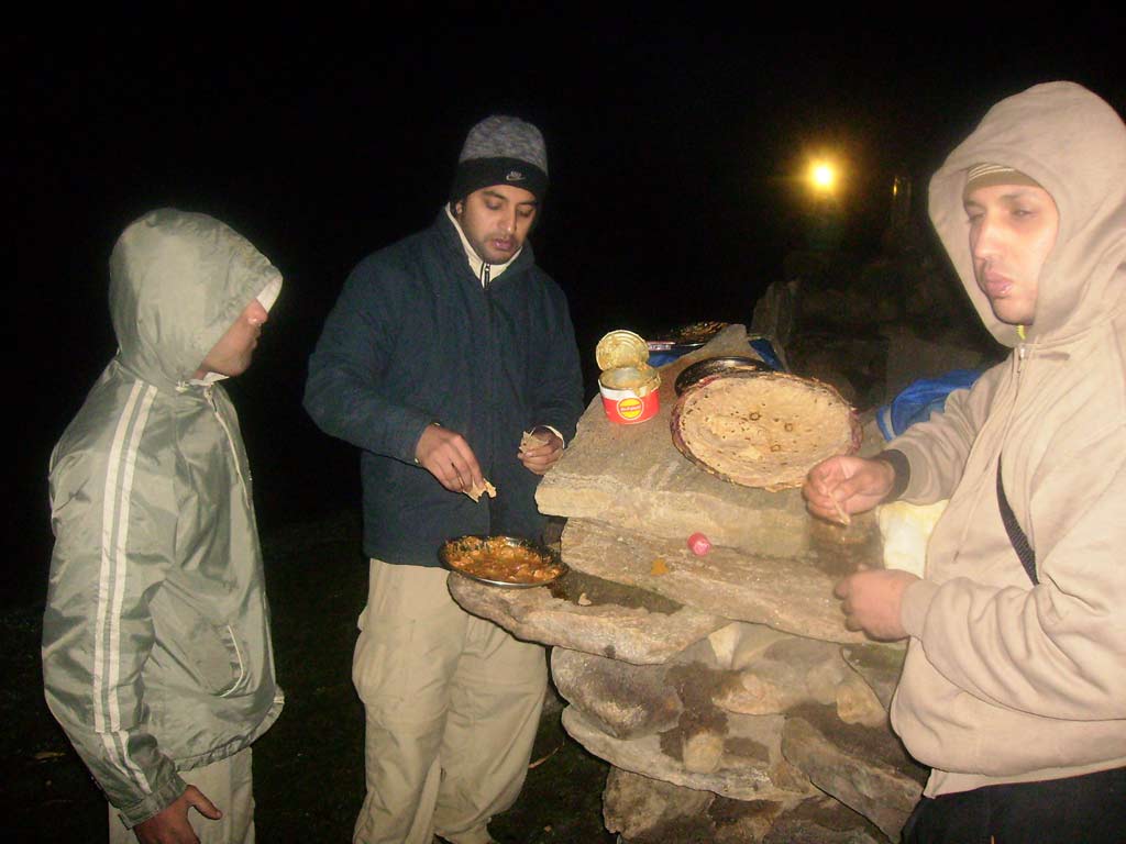
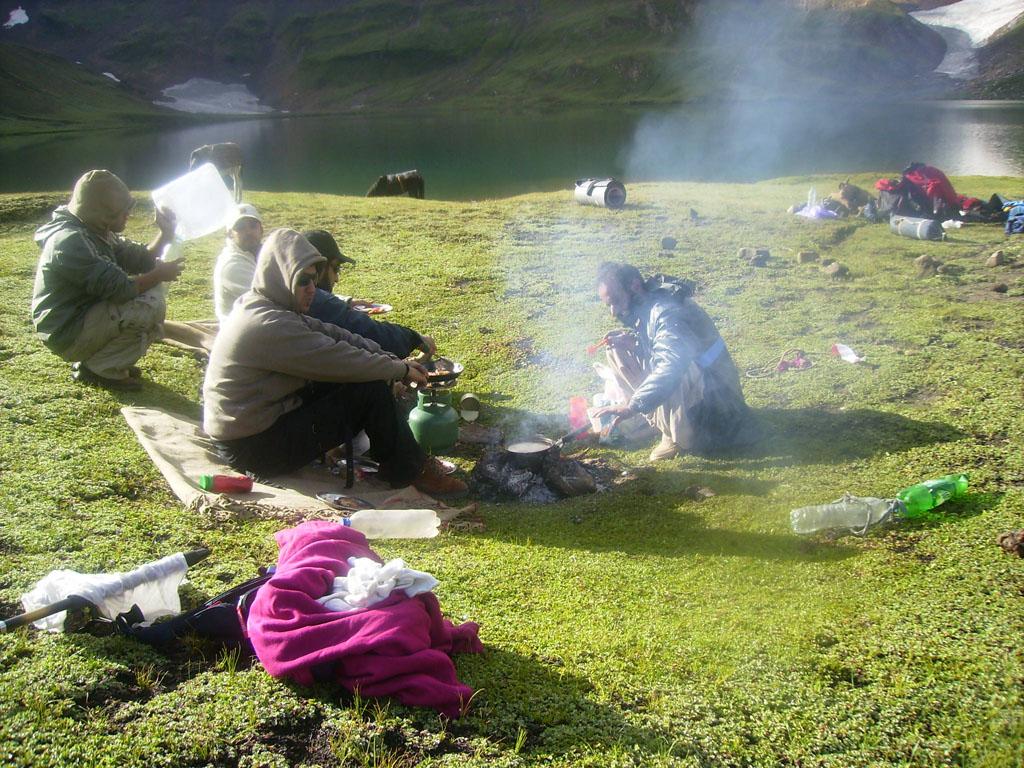
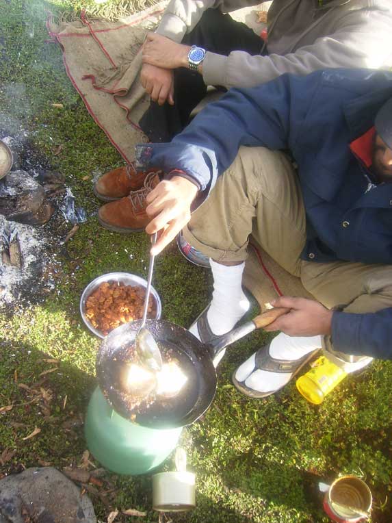
Enjoying home made Chicken Ginger and Dall which we got tin packed from
Shadman Lahore |
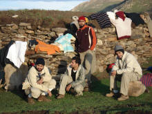
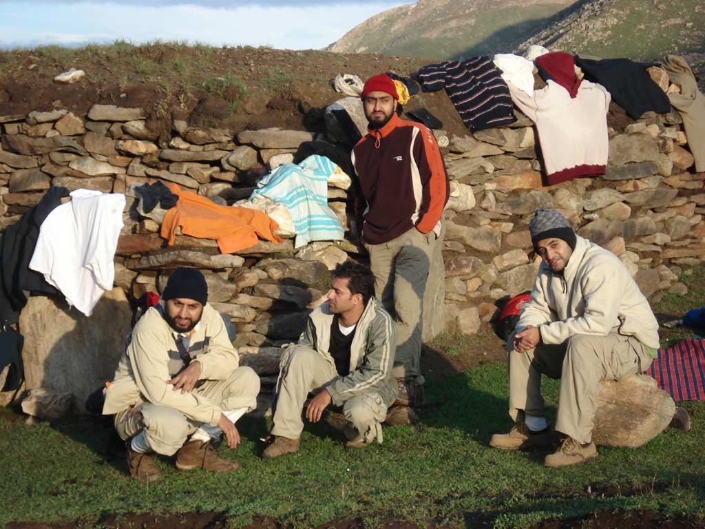
Drying cloths and equipment iafter the storm |
|
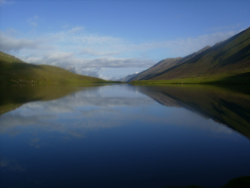
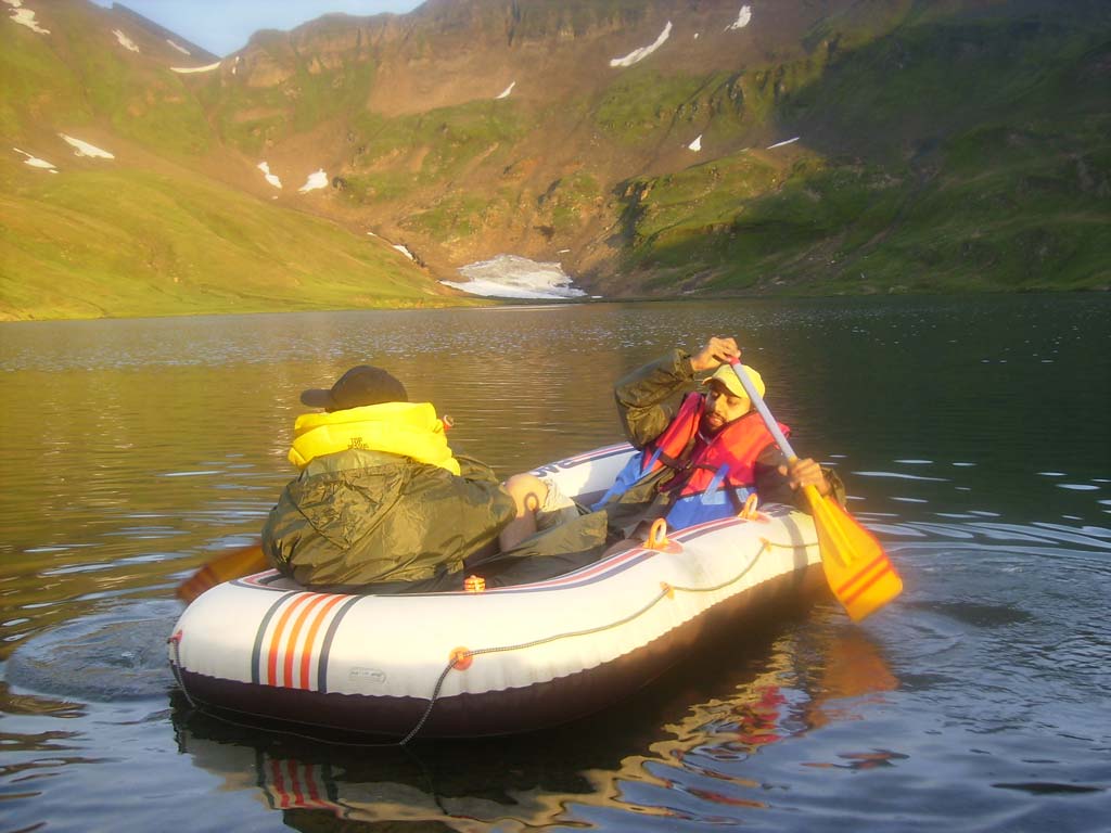
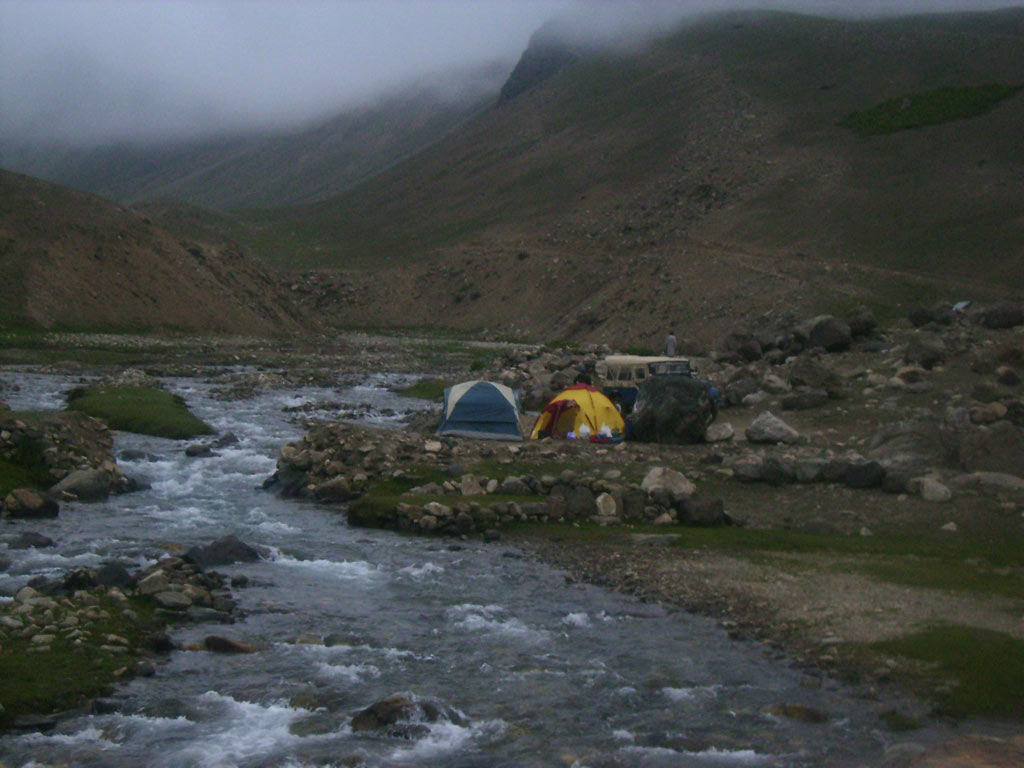
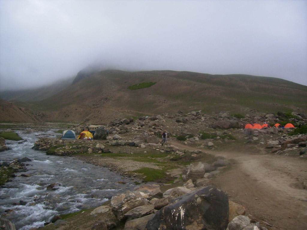
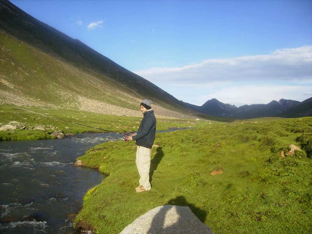
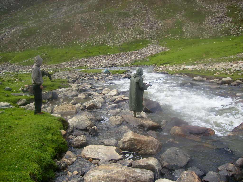
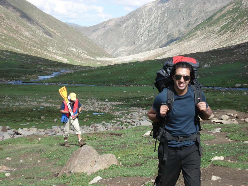
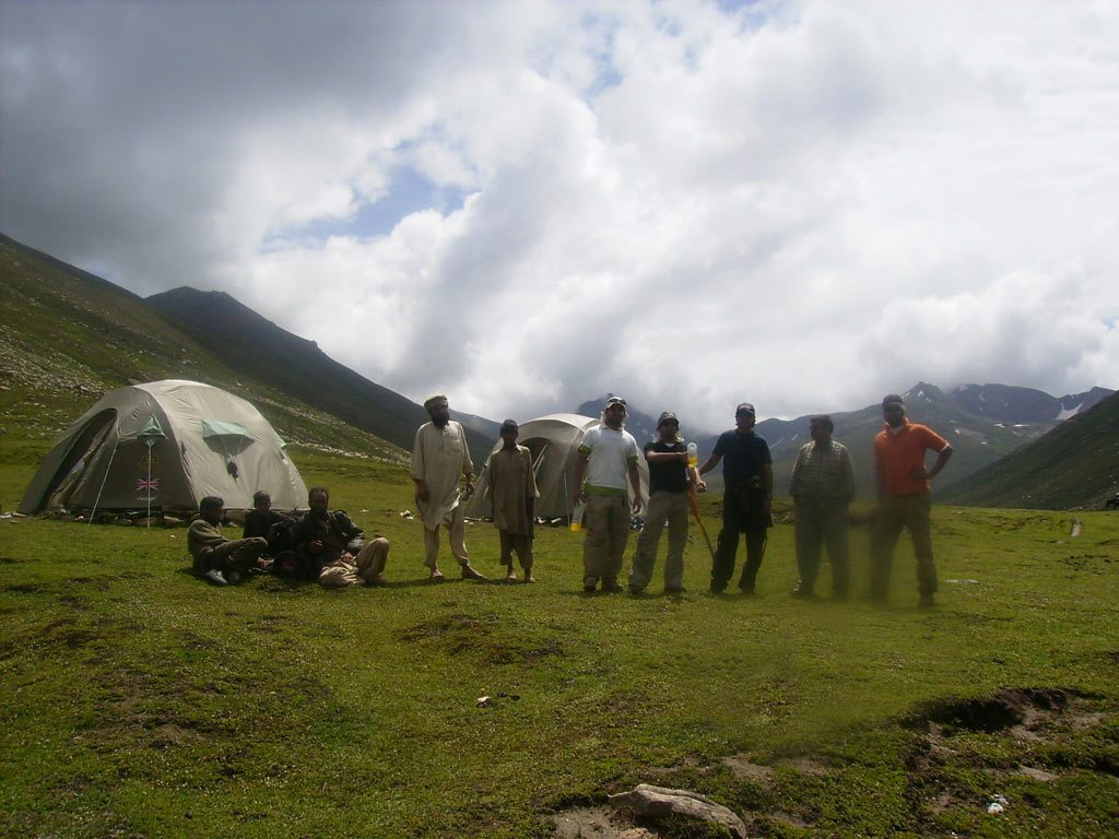
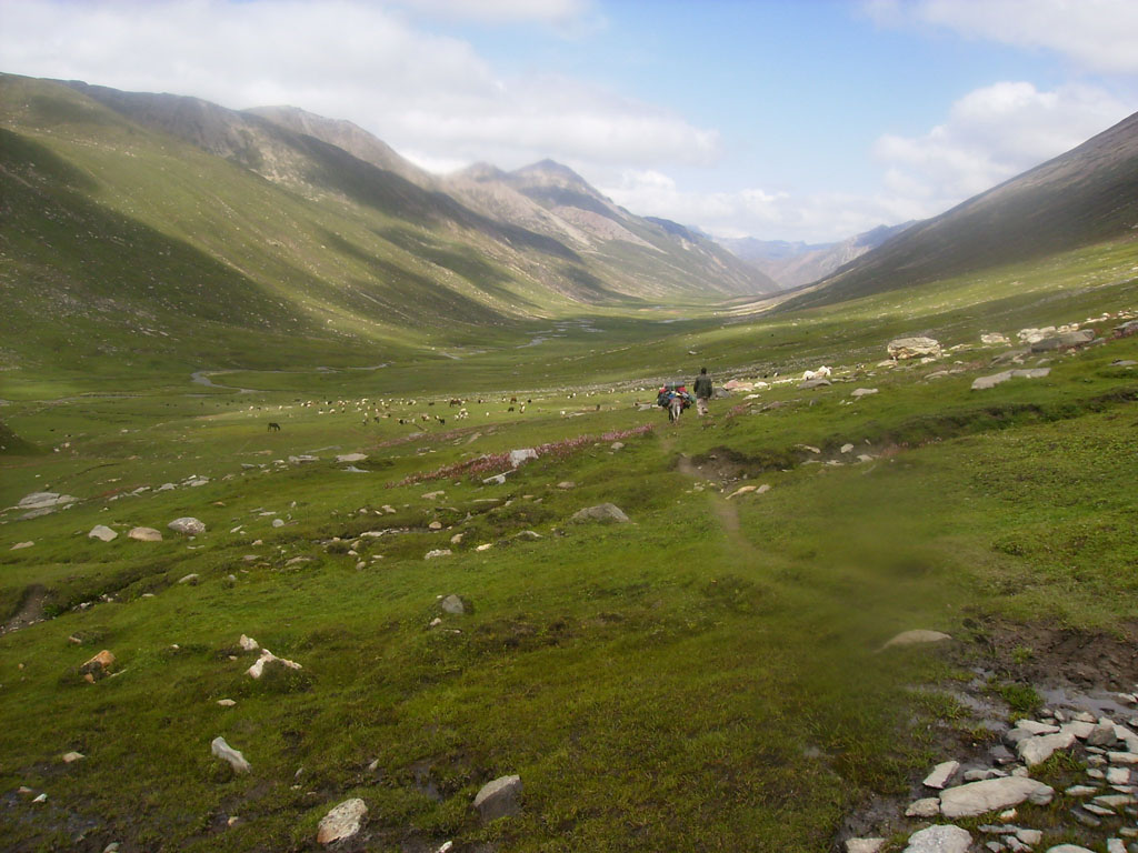
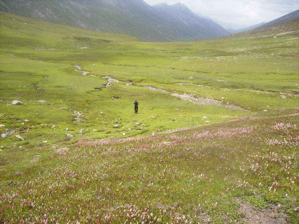
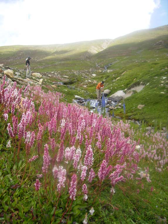
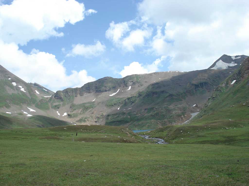
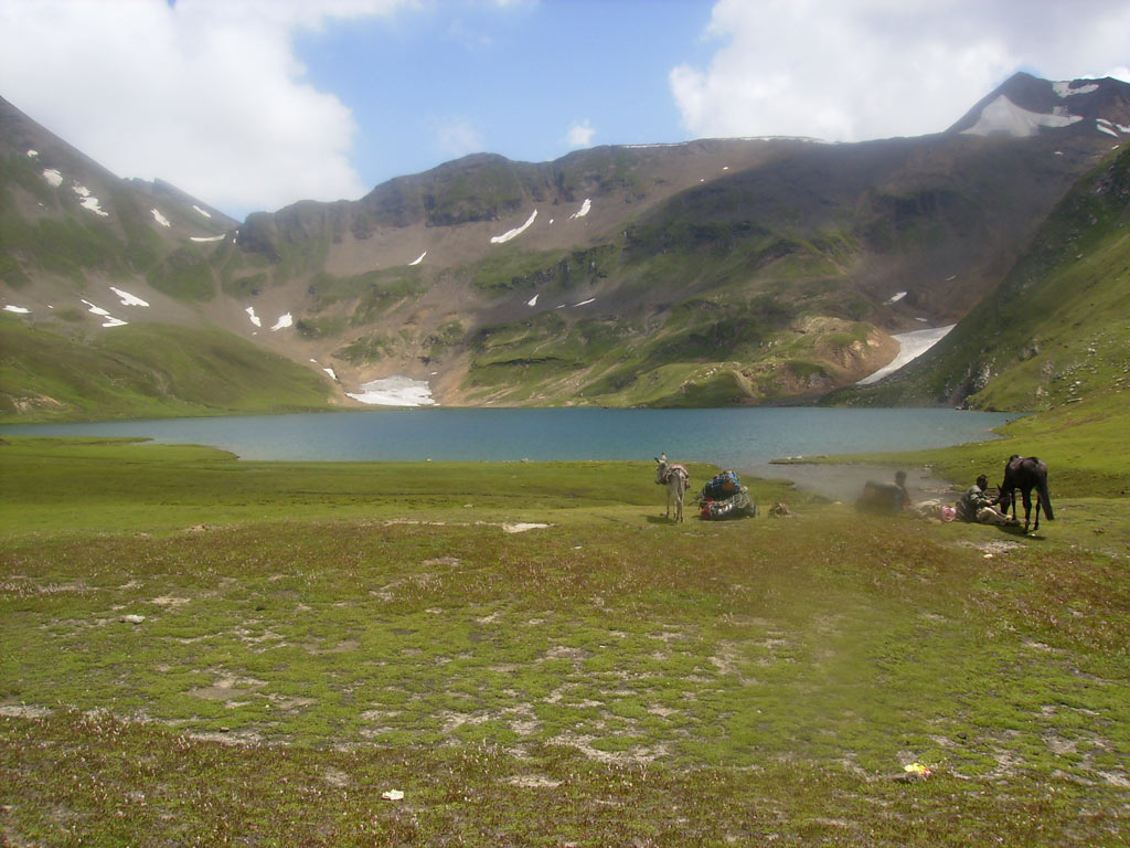
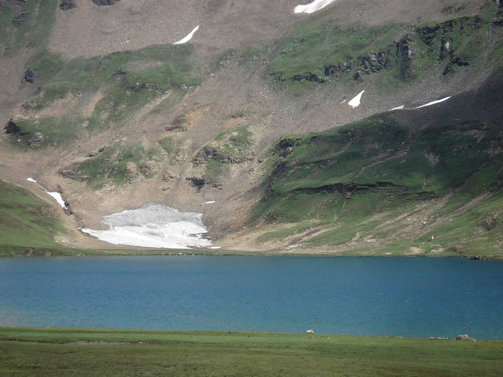
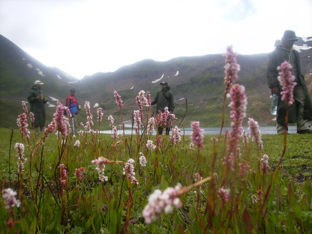
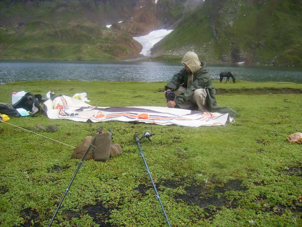
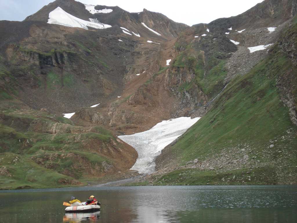
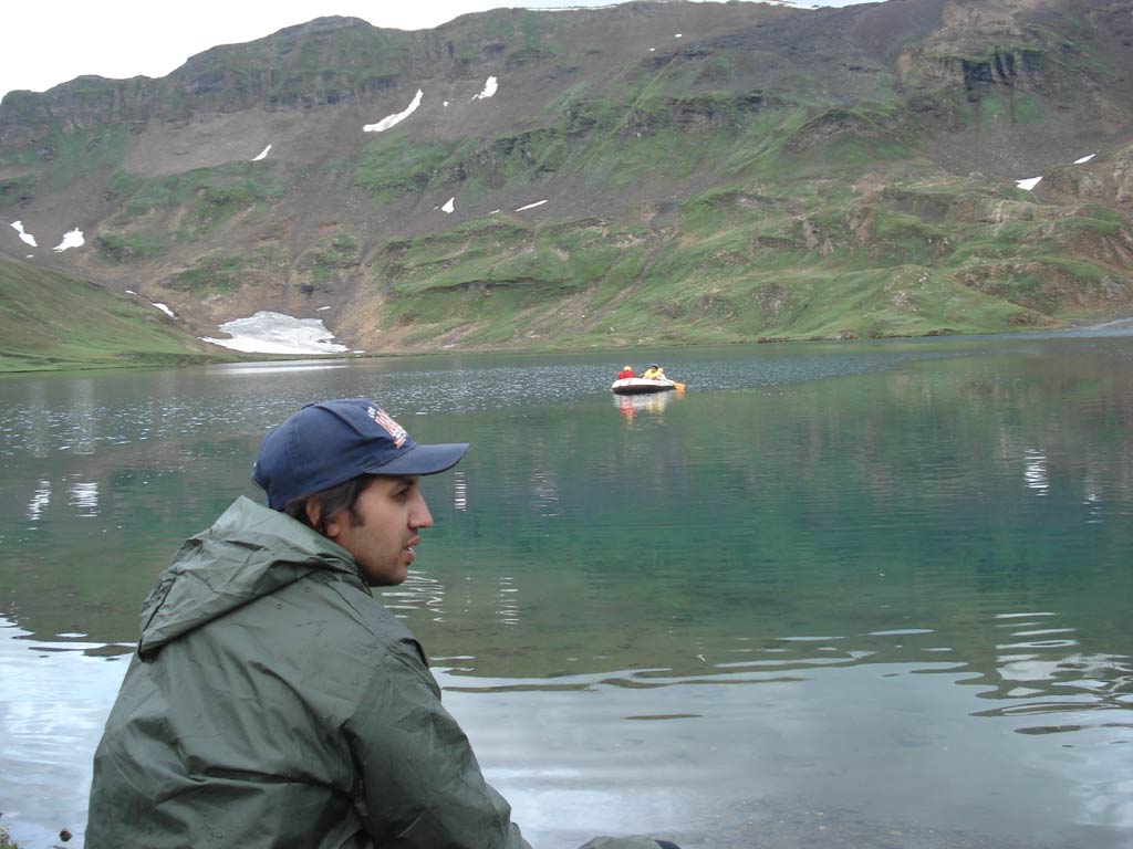
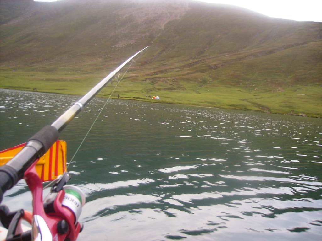
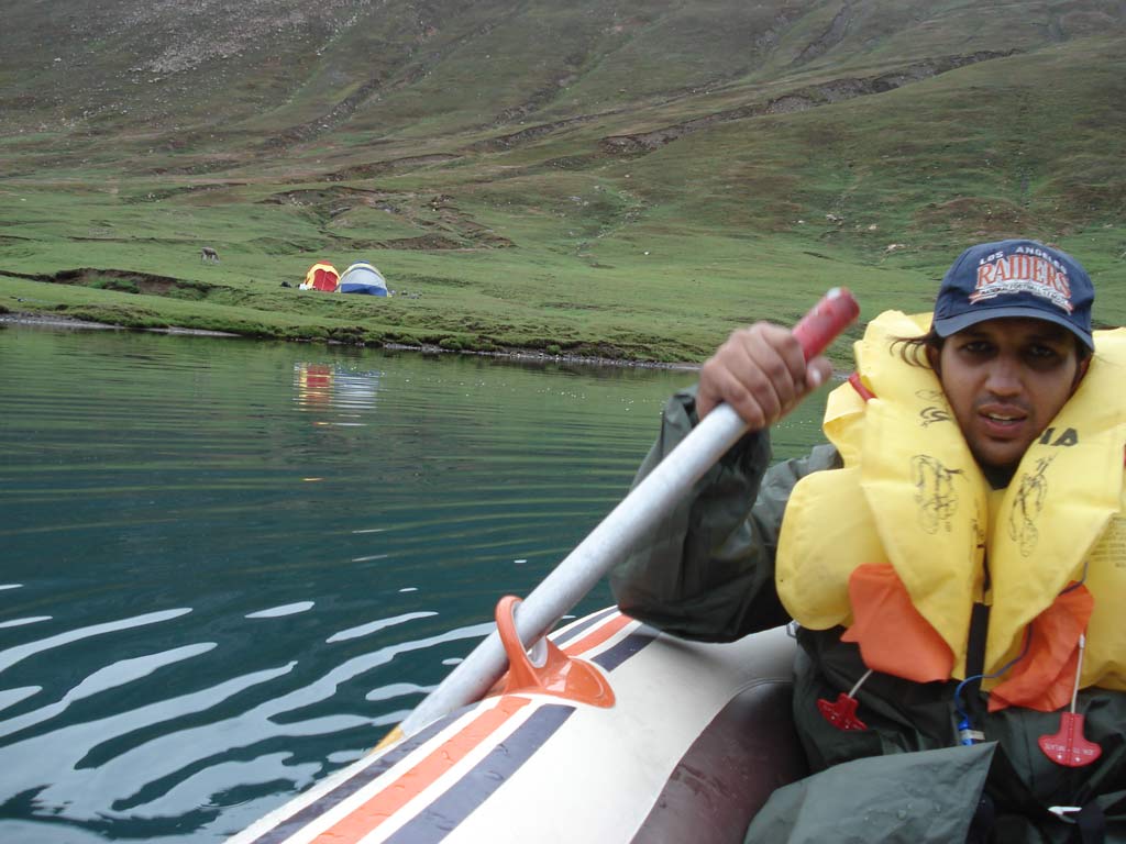
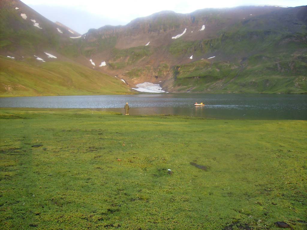
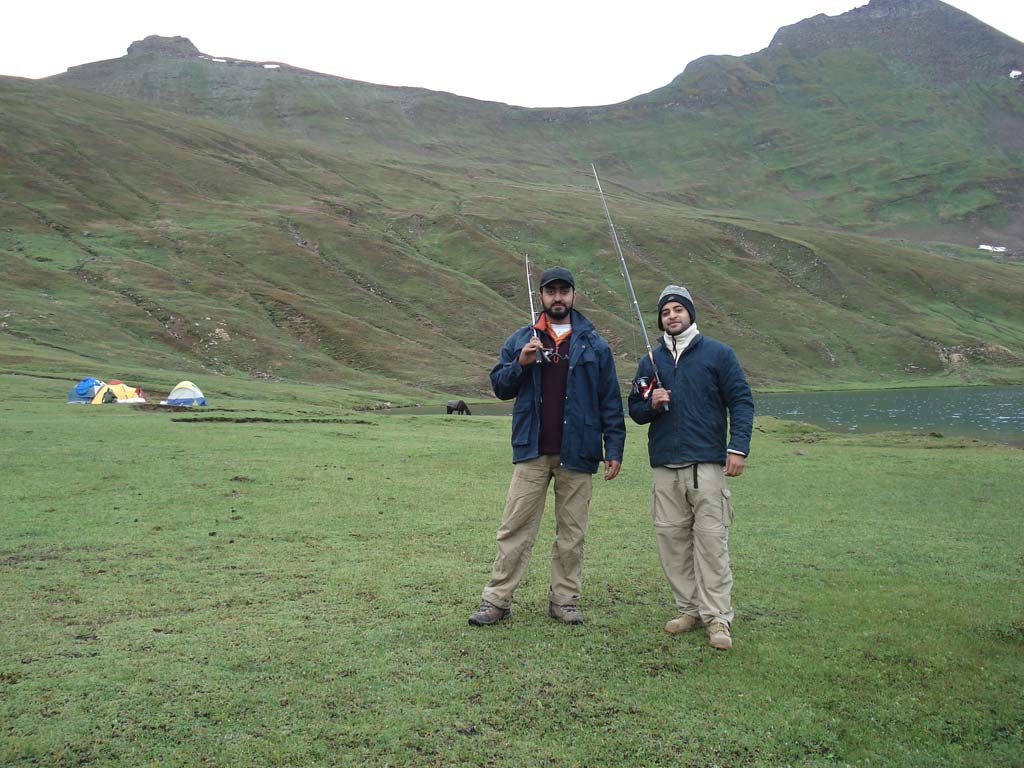
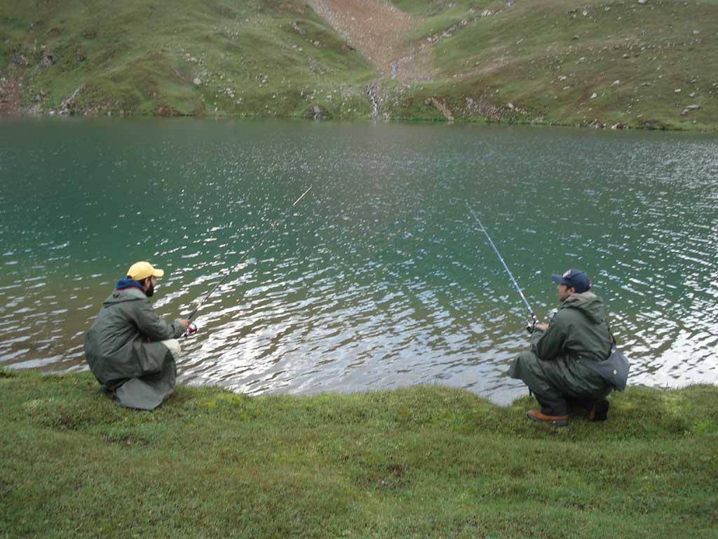
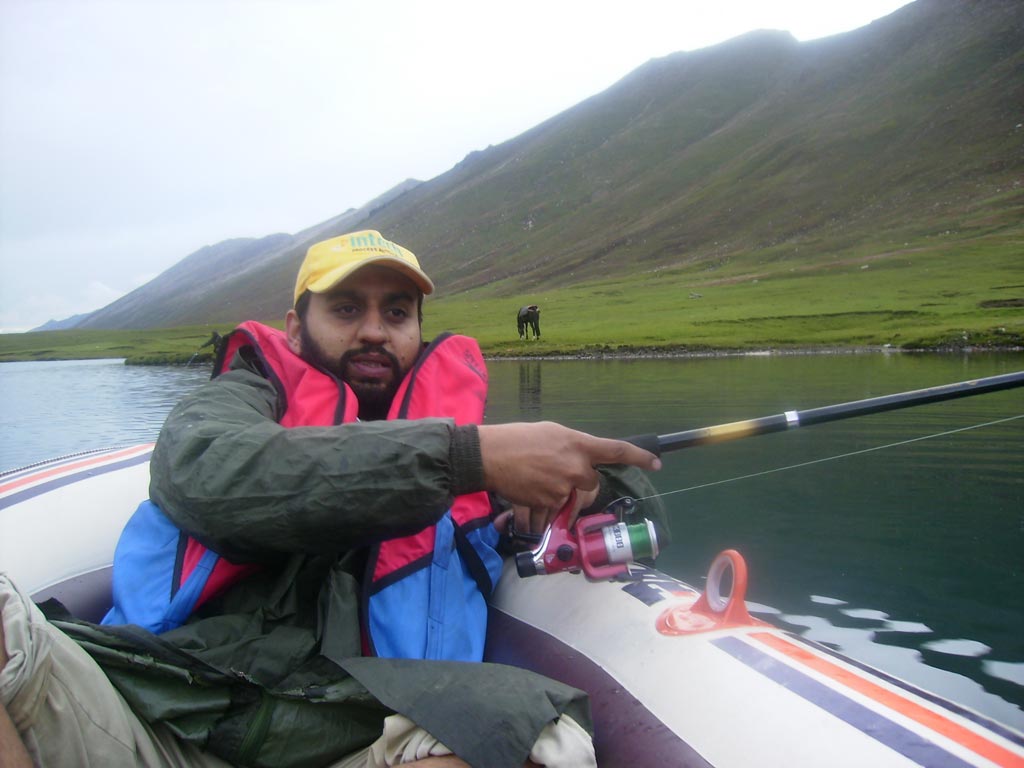
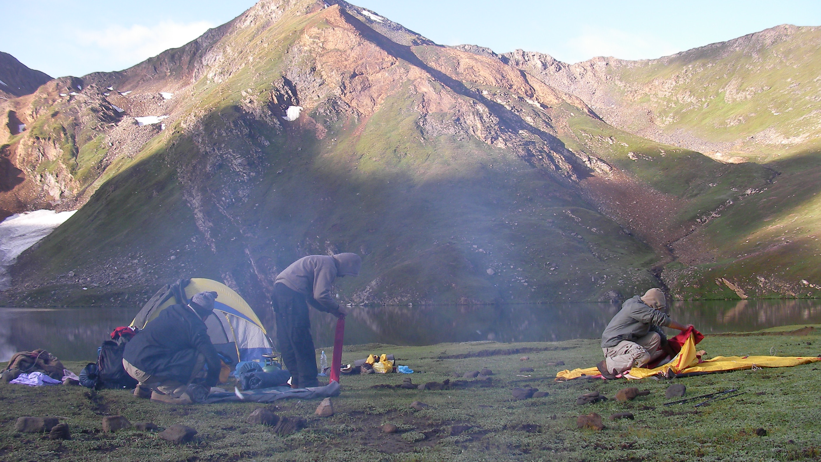
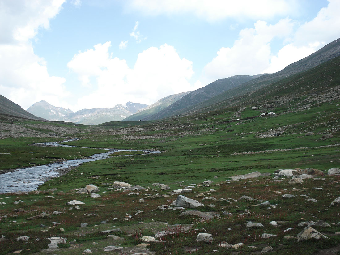
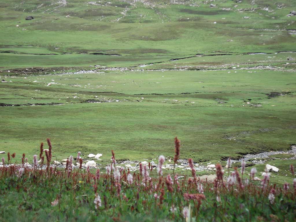
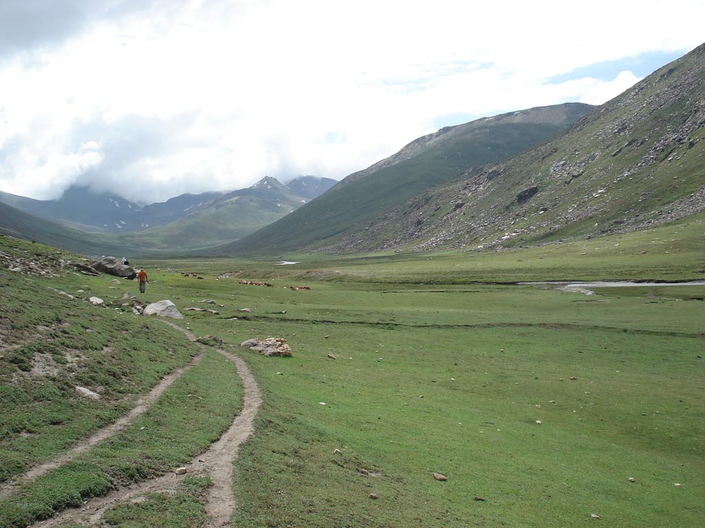
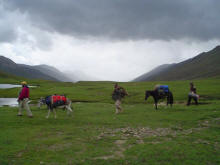
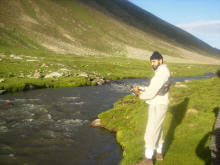
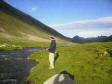
For those
interested in fishing, the down streams around the fake are best places
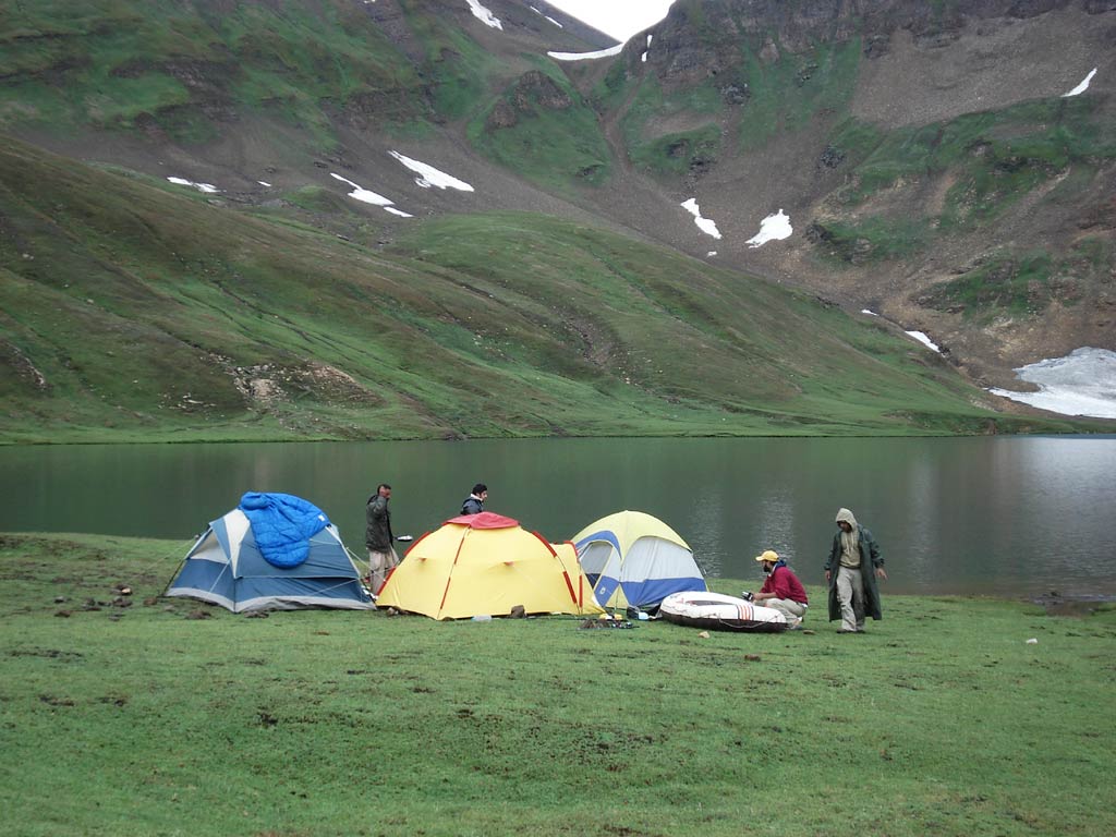
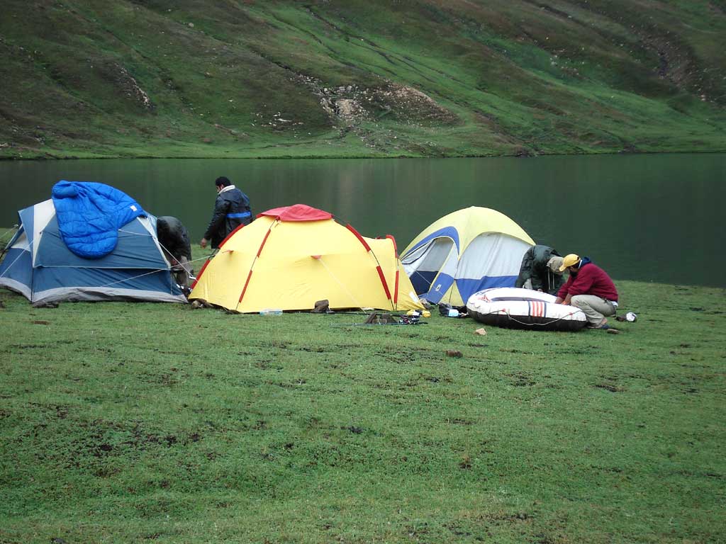
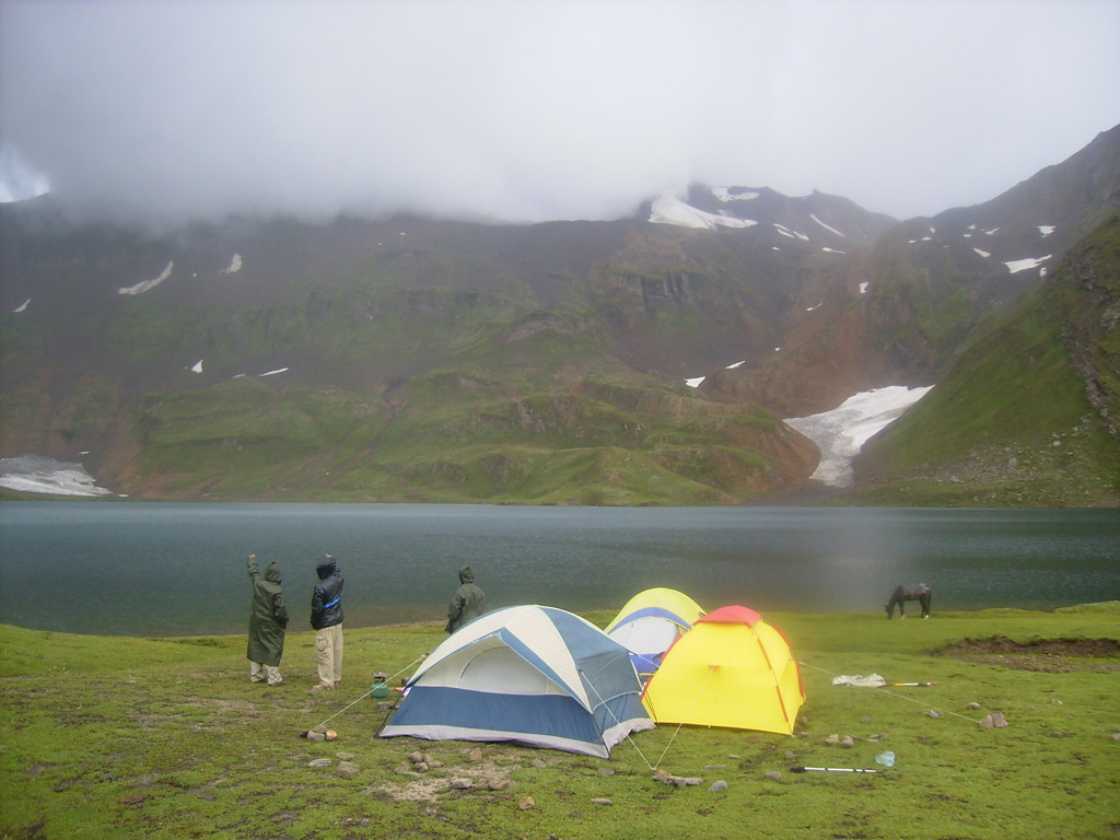
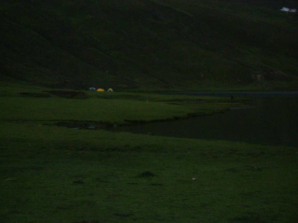
for trout fishing. For spending a night or more, the tourists must have
proper tents, sleeping bags and edibles. It takes about five hours from
Dodopat Sar lake to reach Seral lake. Trekking between Dodopat Sar lake
and Seral lake (we did not try) is neither tough nor risky. One
kilometer or so down, there is a small village called Purbinar, it takes
about eight hours to reach Gittidas, the last village before the Babusar
Pass. If, the mountain towards north of Dodopat Sar lake is climbed,
which can be easily done in three hours, on reaching the top one can see
two beautiful small lakes on the other side of this mountain.
|
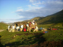
The mosque, only
shelter on the way- We installed the tents inside the mosque to spend the
night( because of cold and insects |
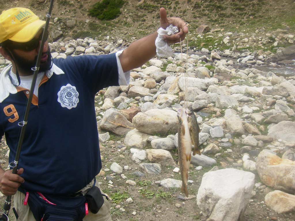
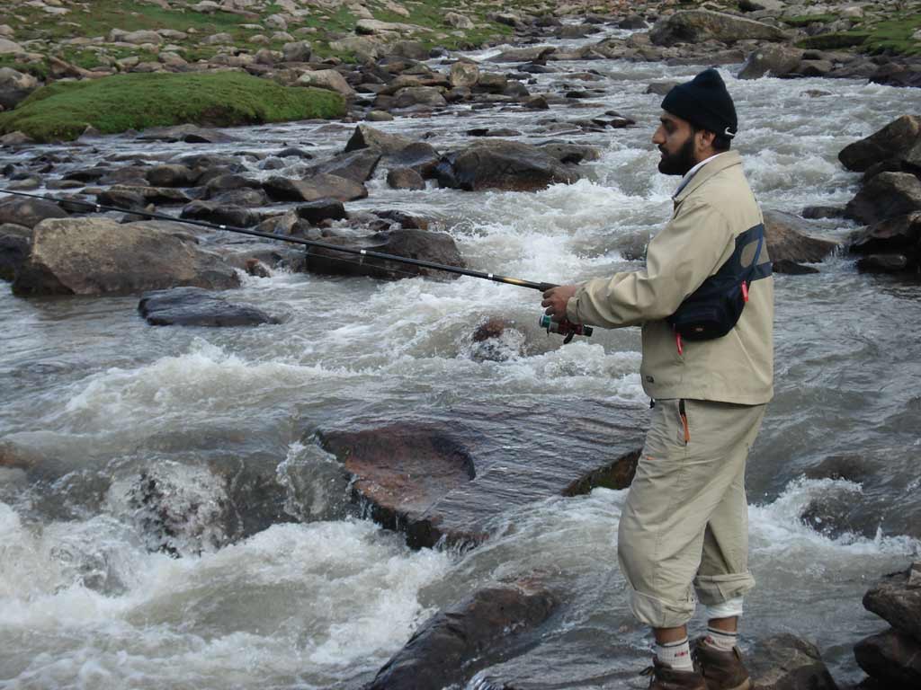
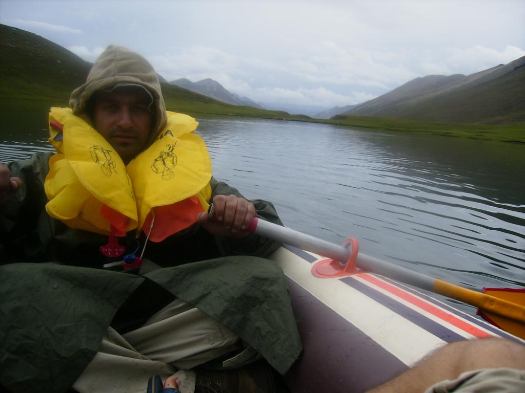
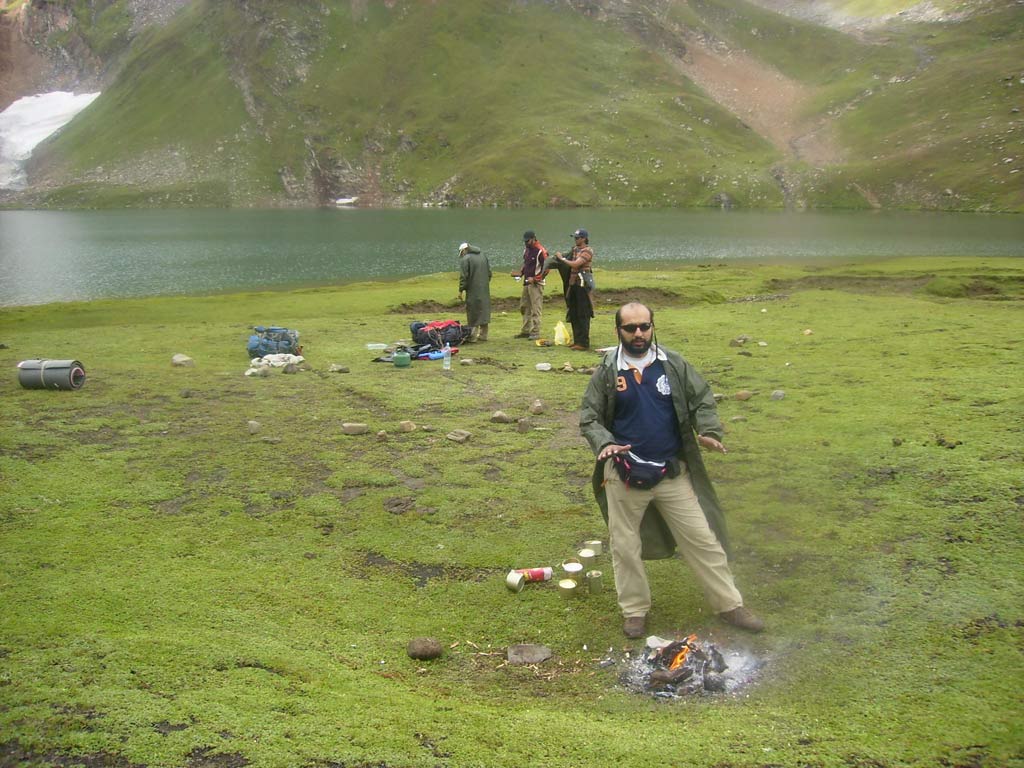
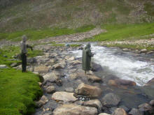
Catching trout after the hail storm |
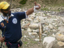
A medium sized Tout |
I guess this is one of the most beautiful spots in Pakistan for trout
fishing |
 |
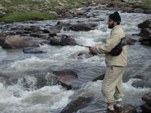
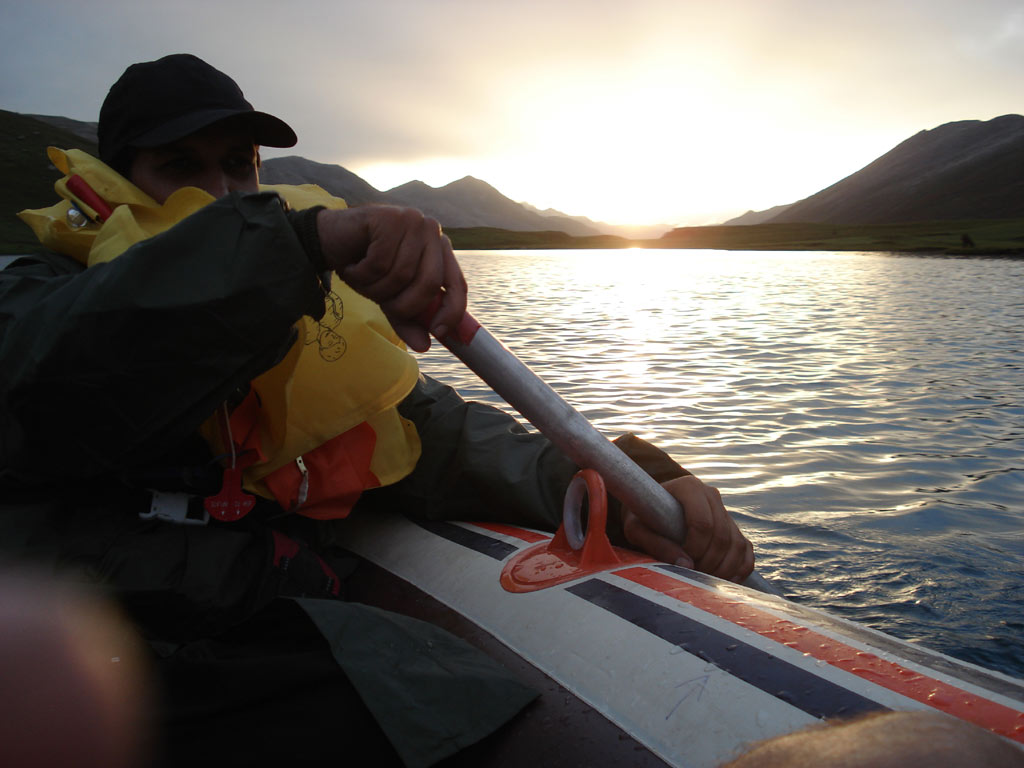
2 Tango- always ready for a good catch |
 |
 |
 |
 |
|
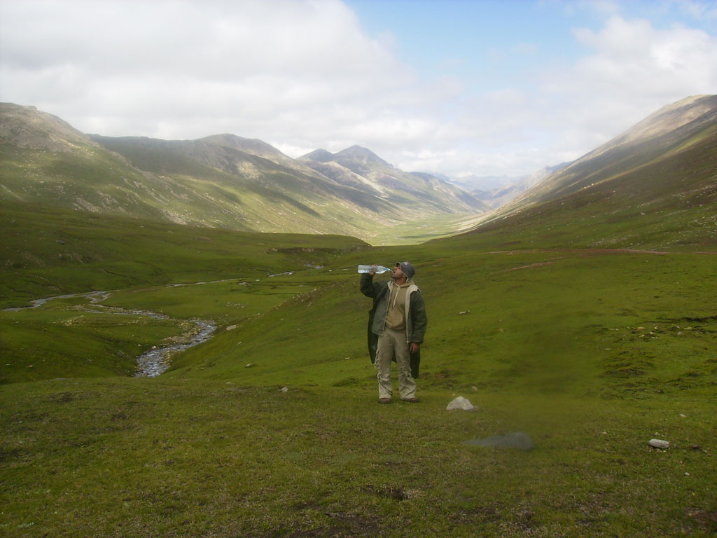
Also from the top
one can have a very clear glance of the Naked Mountain also called the
murderous peak or the killer mountain, the "Nanga Parbat" in the
Himalayan Range.
From the top one not only gets the opportunity to enjoy the soft,
soothing and tranquil climate of Kaghan valley but also experience the a
view of the killer mountain standing in the haunting wilderness. From
the top it takes approximately eight hours to go down to Gittidas but
since the trek is tough and dangerous, it is suggested to come down
via Dodopat Sar lake and Purbinar village to Besal or stay back at
Dodopat Sar lake for a night or two and enjoy trout fishing. (Streams
around Dodopat Sar lake are considered to be the best spots for trout
fishing in the Kaghan valley) |
|
|