|
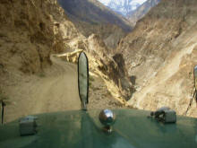
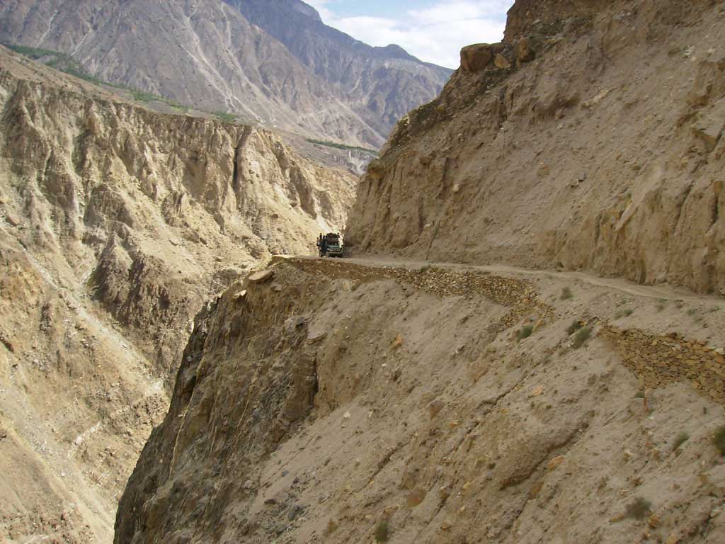
Don’t try in rain
or
after the sunset.
|

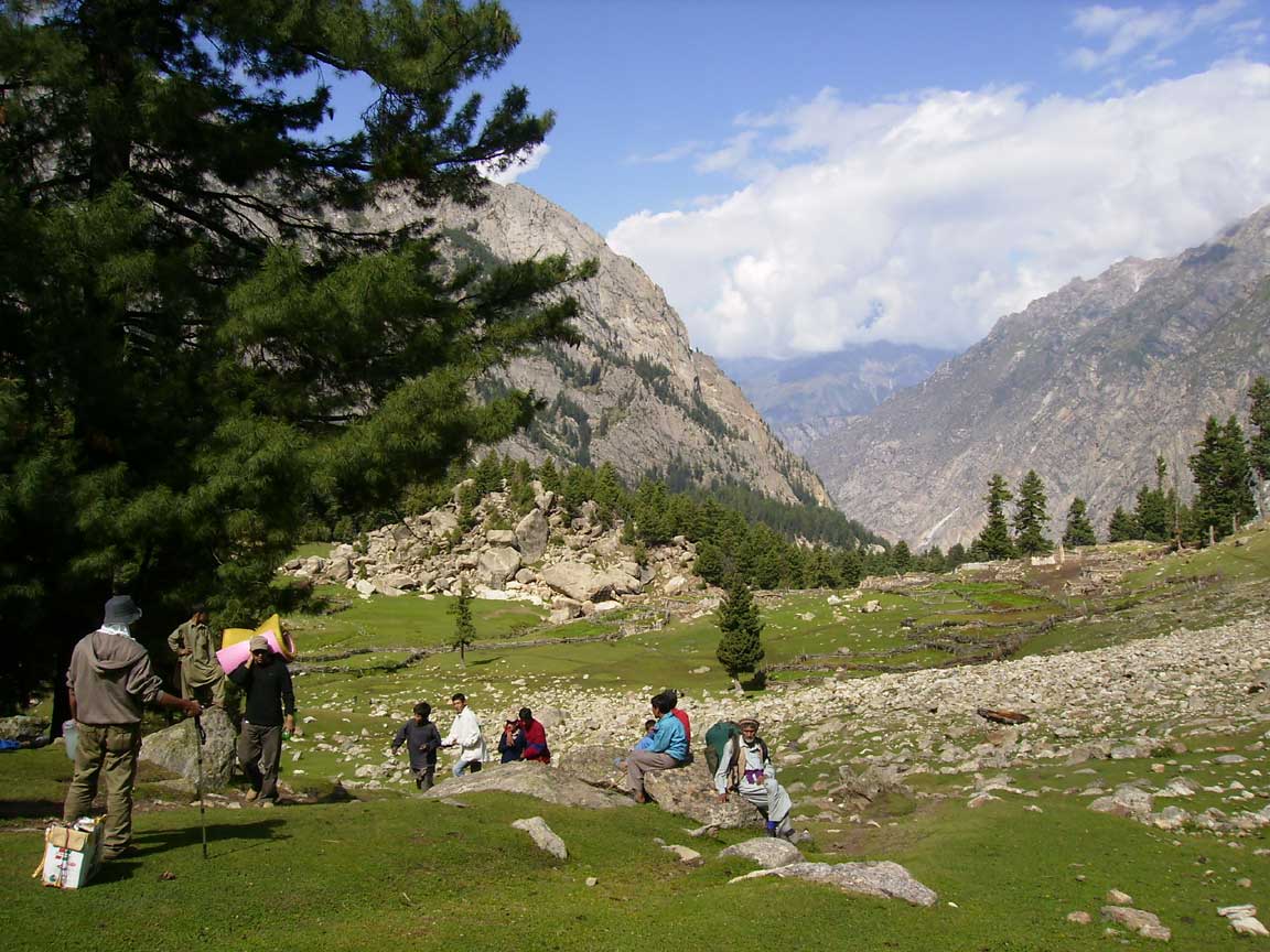
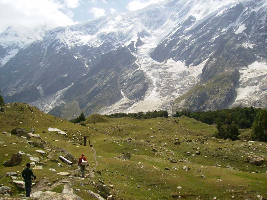
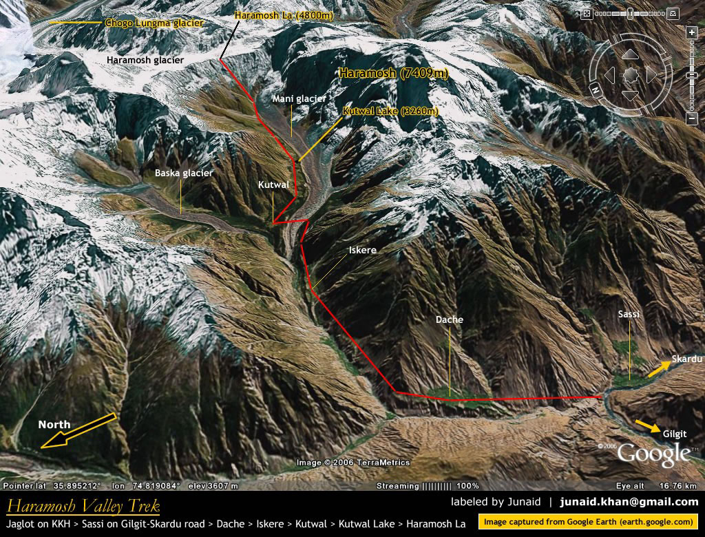
Dassu (Stage)
End of
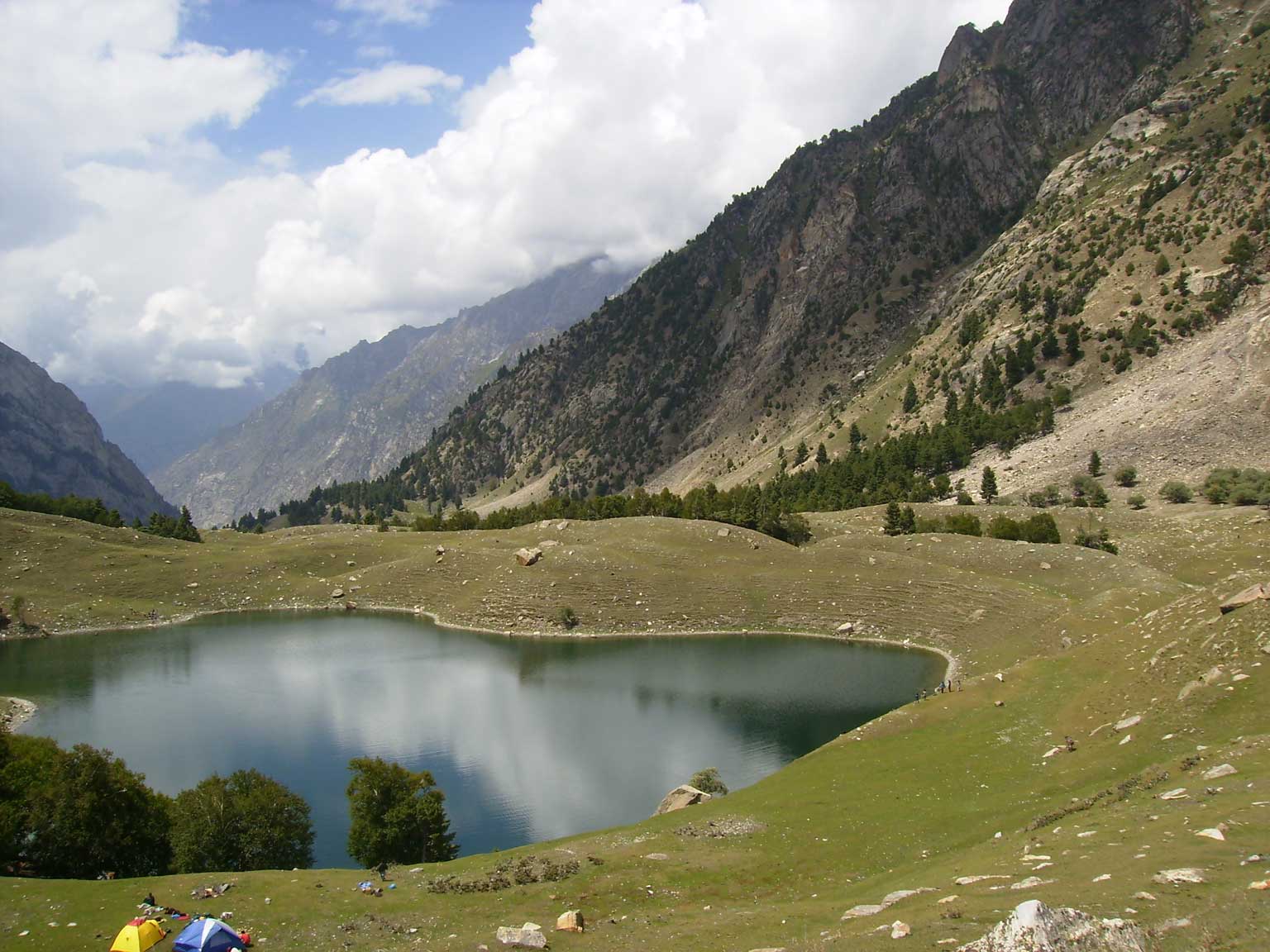
Jeep Track. Track to Kutwal Lake begins.
First Stage Sillpi. |
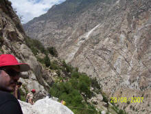
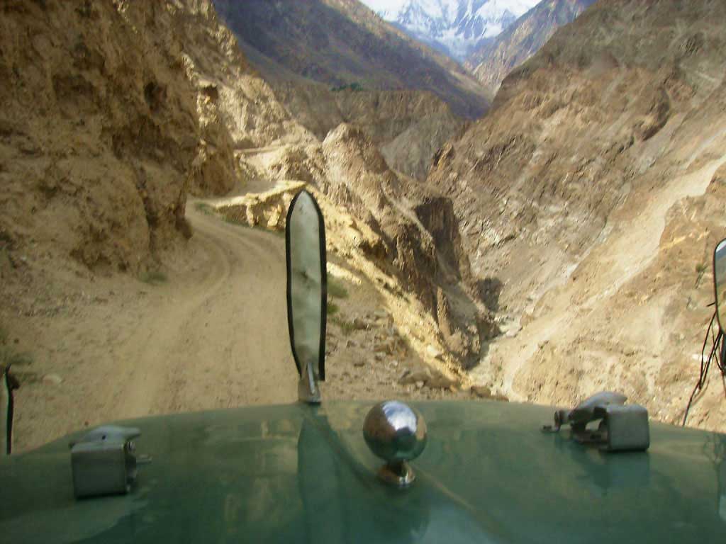
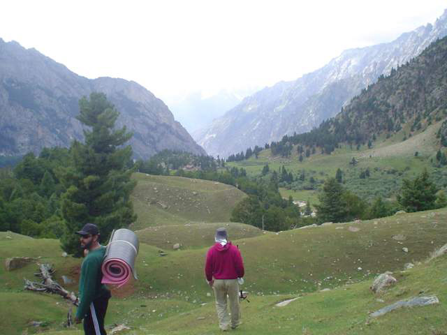
Dassu to Sillpi track
Track Time: 1 hr 30 mnts apprx.
Difficulty : Moderate
|

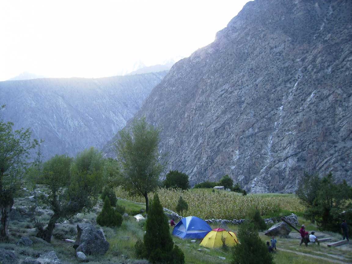
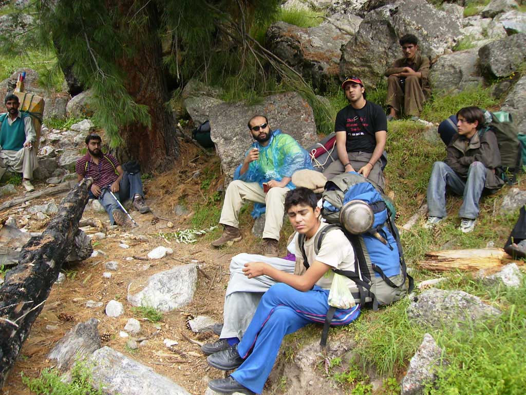
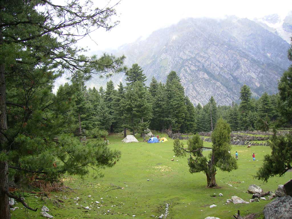
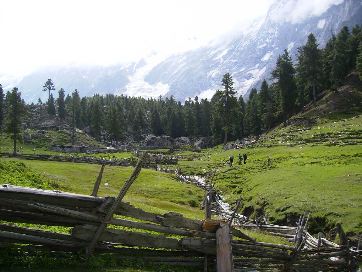
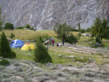
Sillpi Village (with just 1
houses)
That is the only plateau in first 3 hrs tracking. If you are late than camp
here.
|
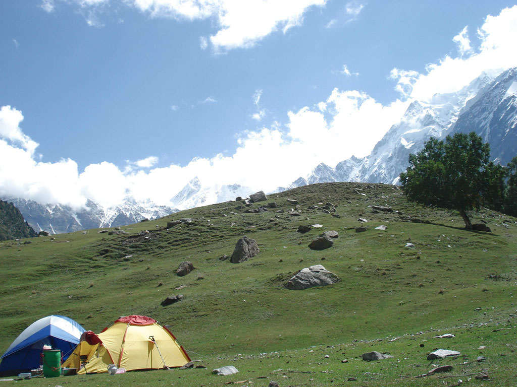
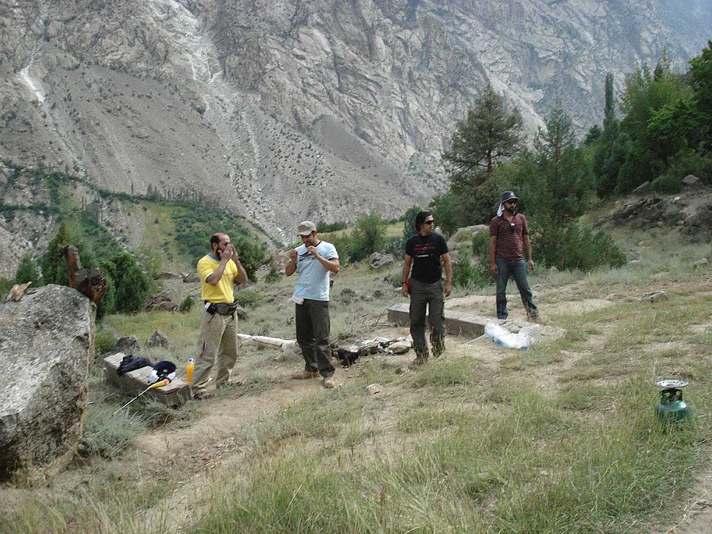
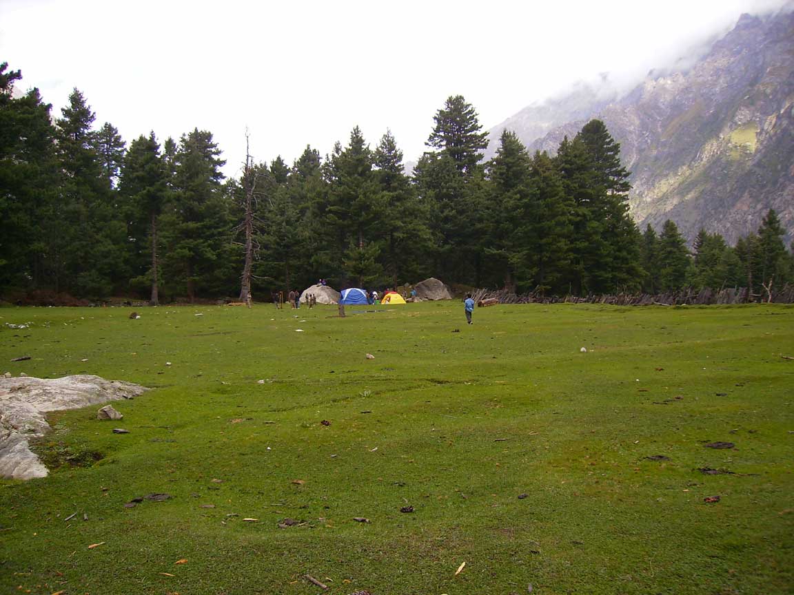
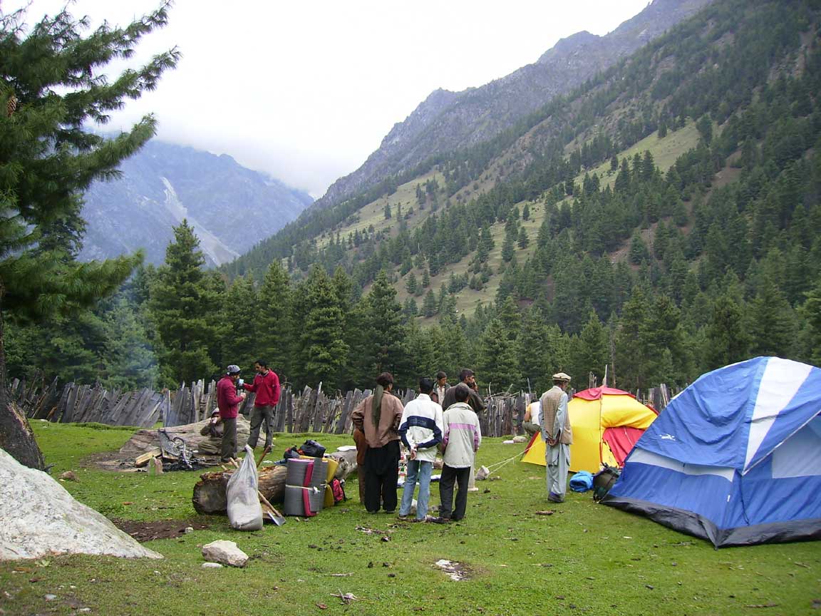
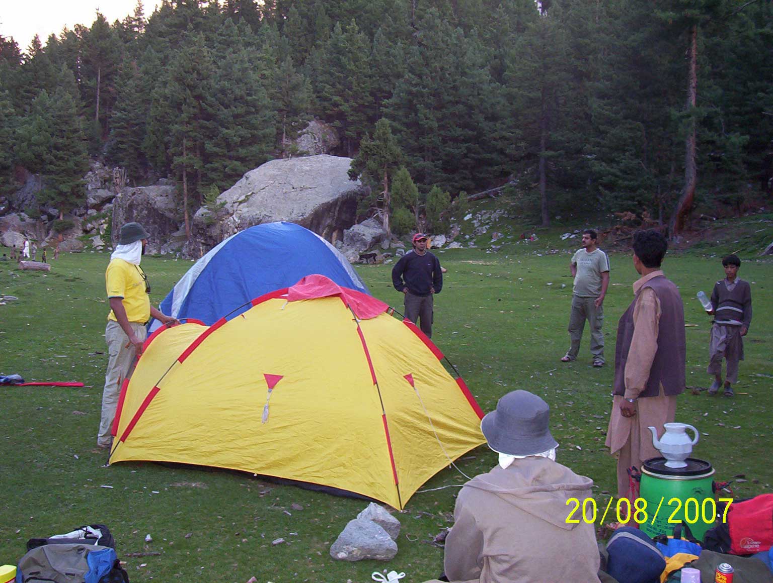
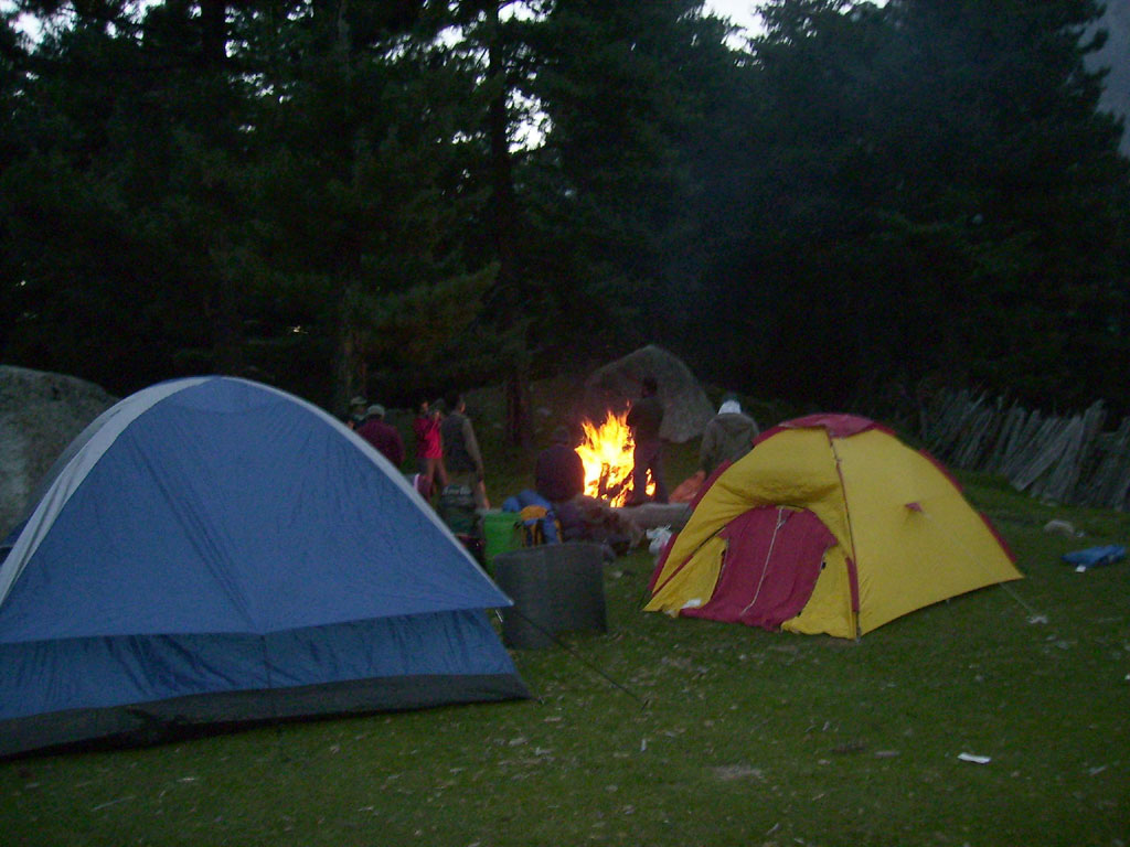
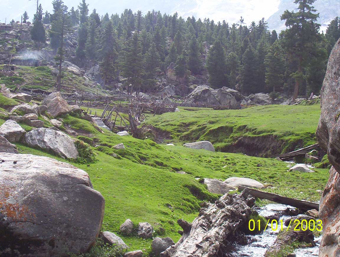
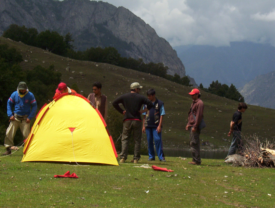
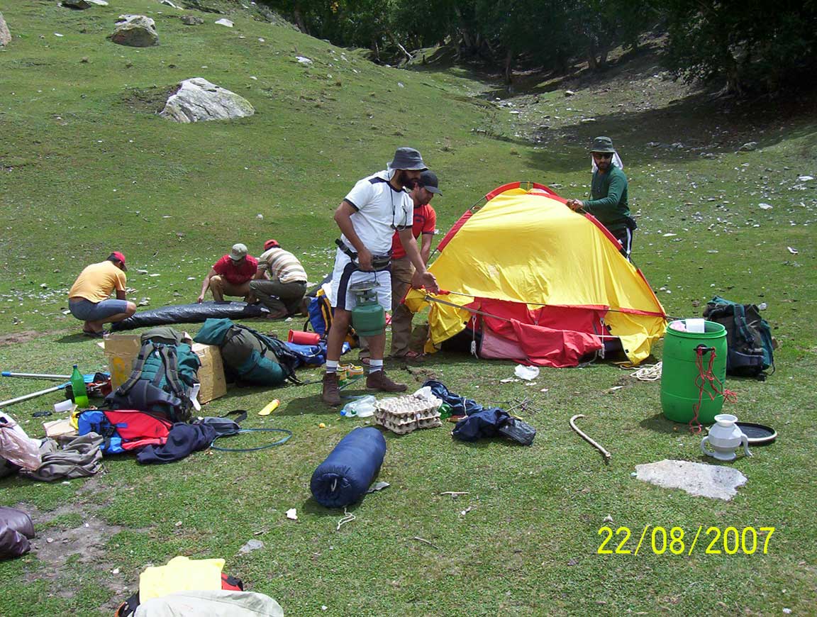
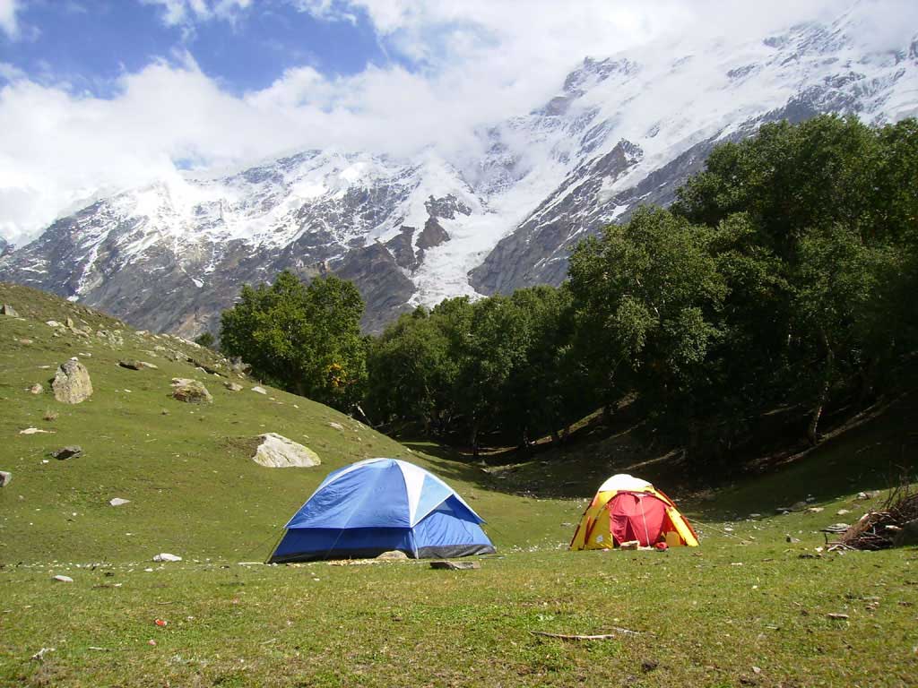
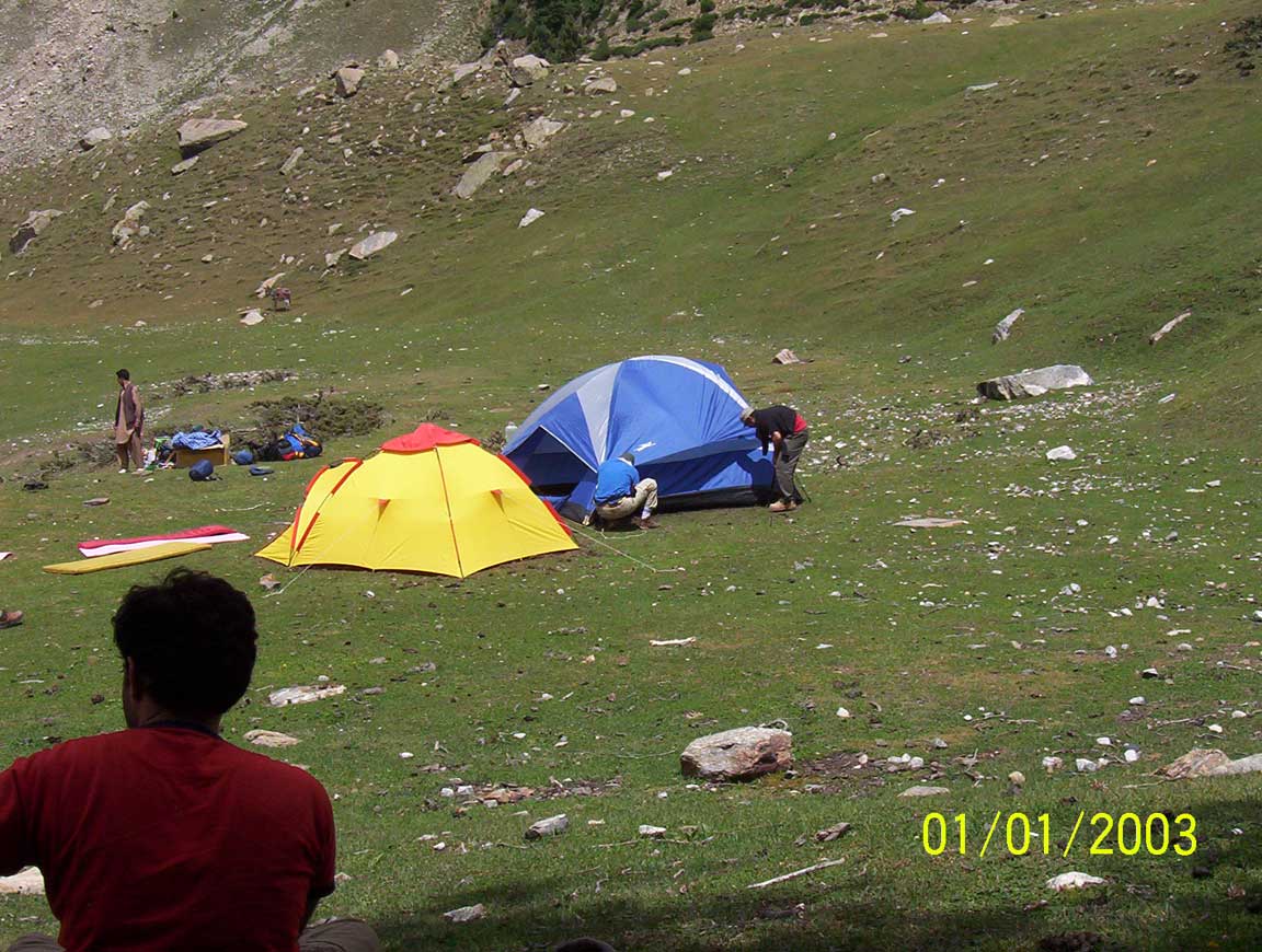
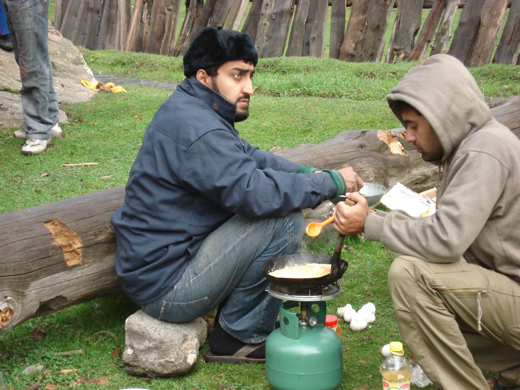
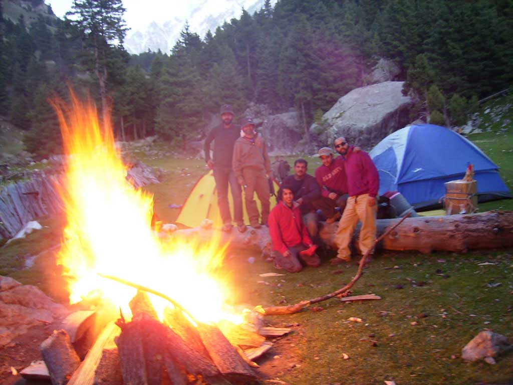
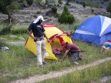 Camp Site at Sillpi
Nigi fixing the tent. Enjoy Plenty of wood,
clear stream and fresh corn |
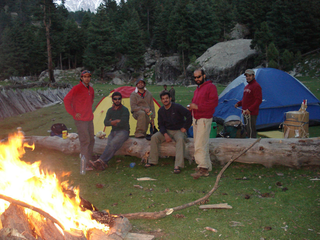
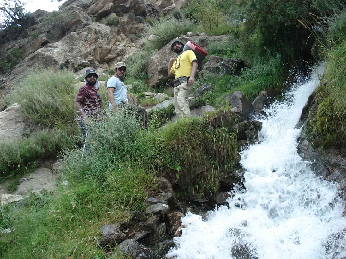
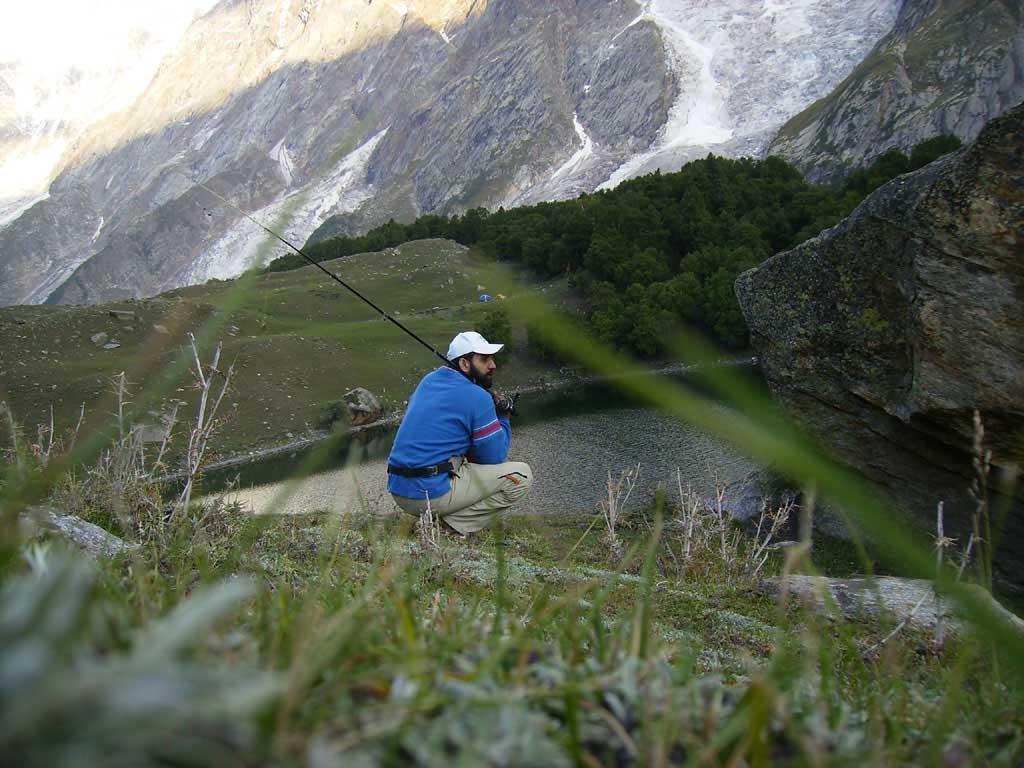
Fresh water stream is running at
the back of the camps. |
 I I
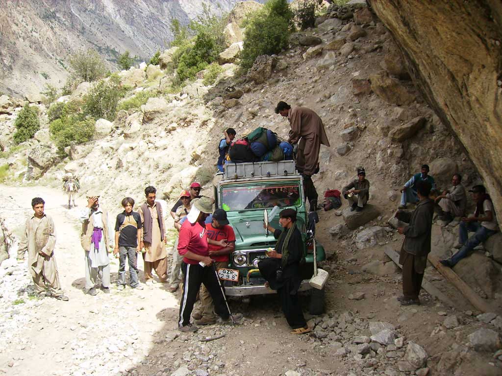
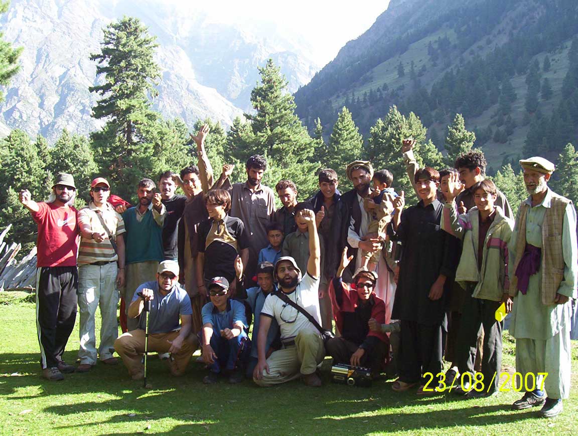
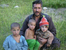
Owner of Sillpi-Lovely happy family of Sillpi |

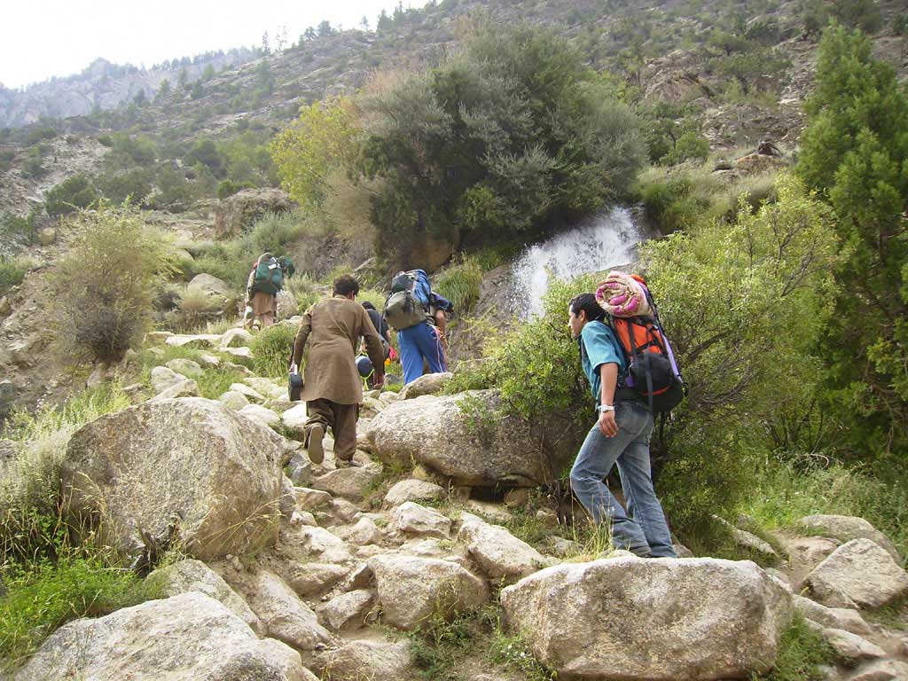
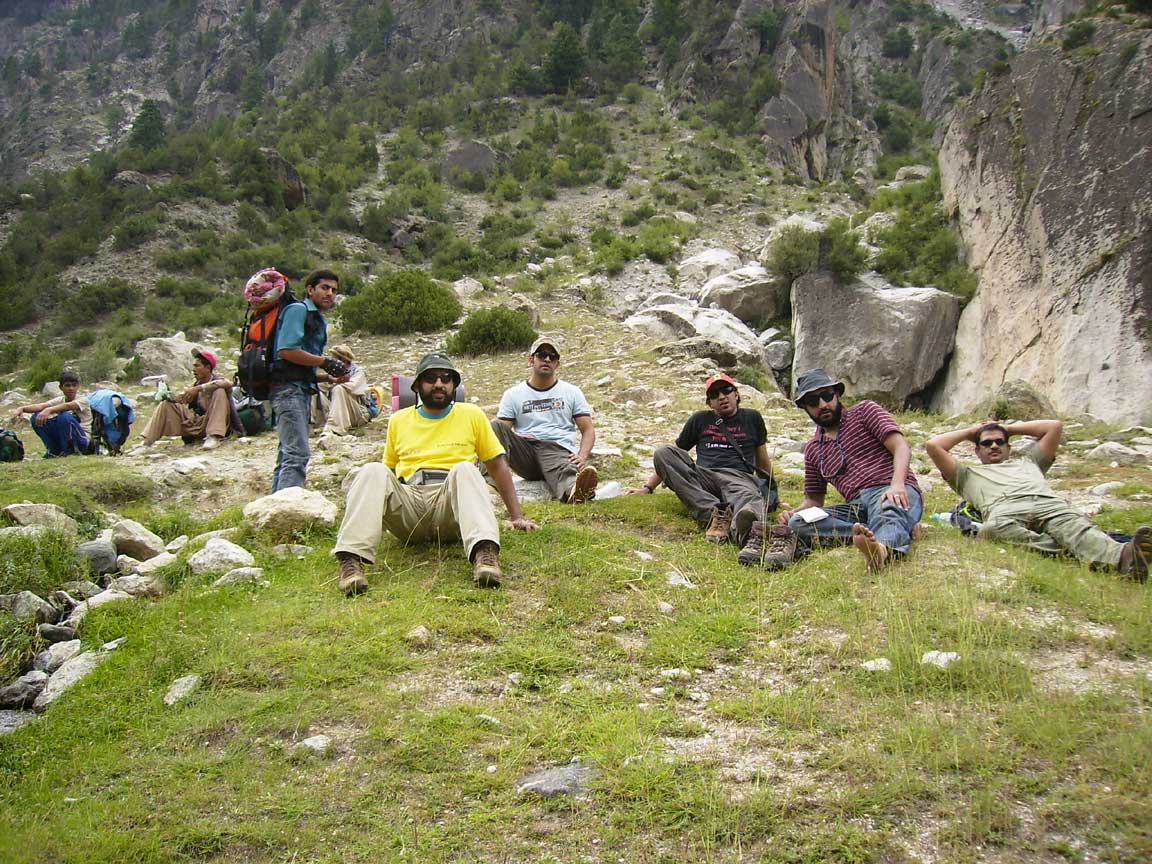
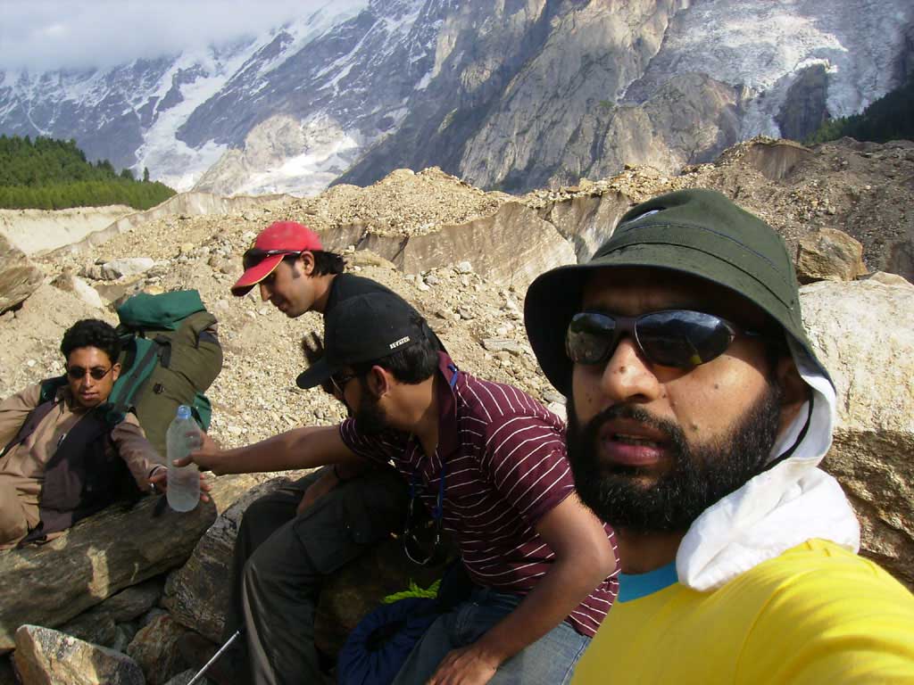
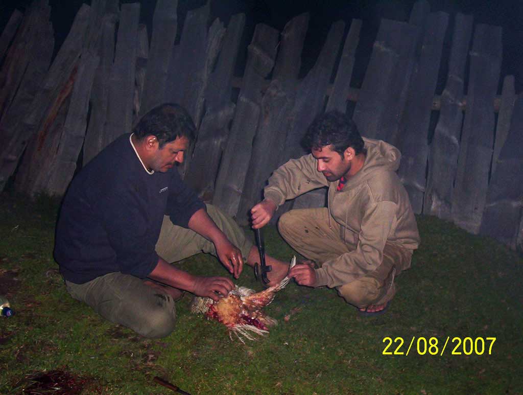
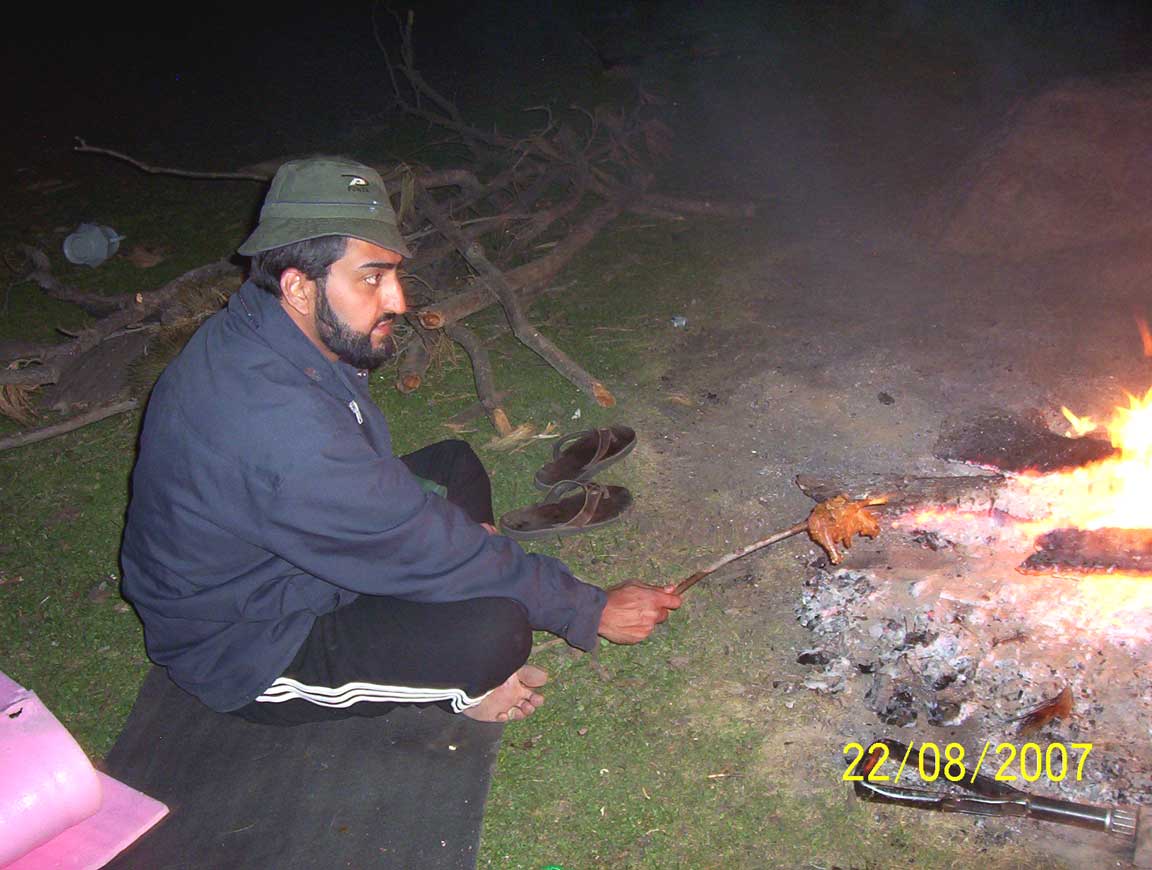
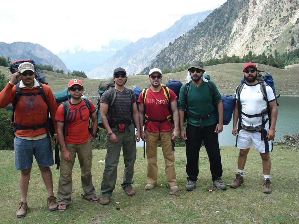
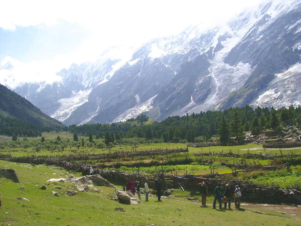
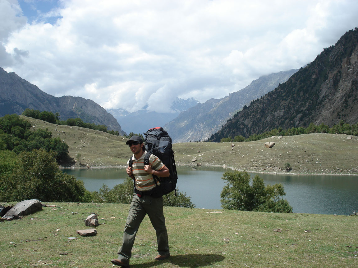
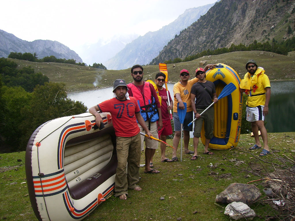
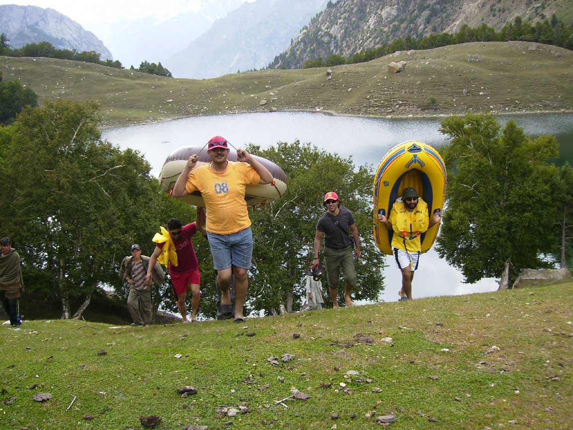
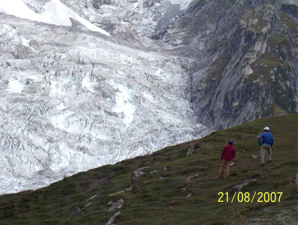
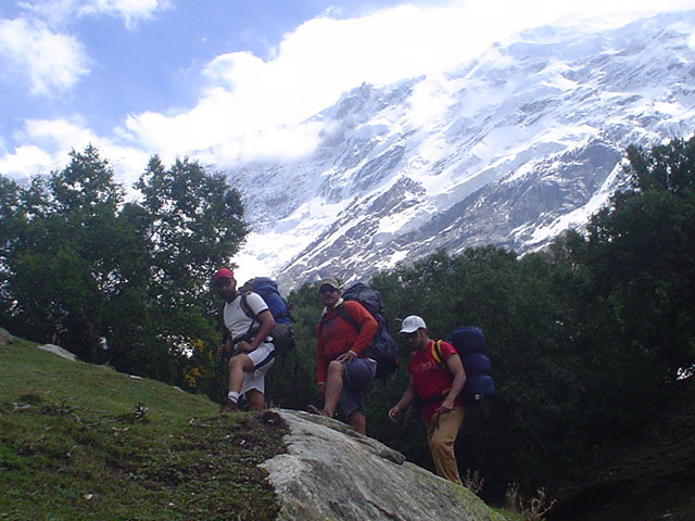
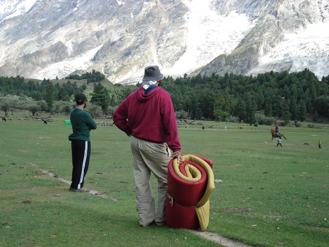
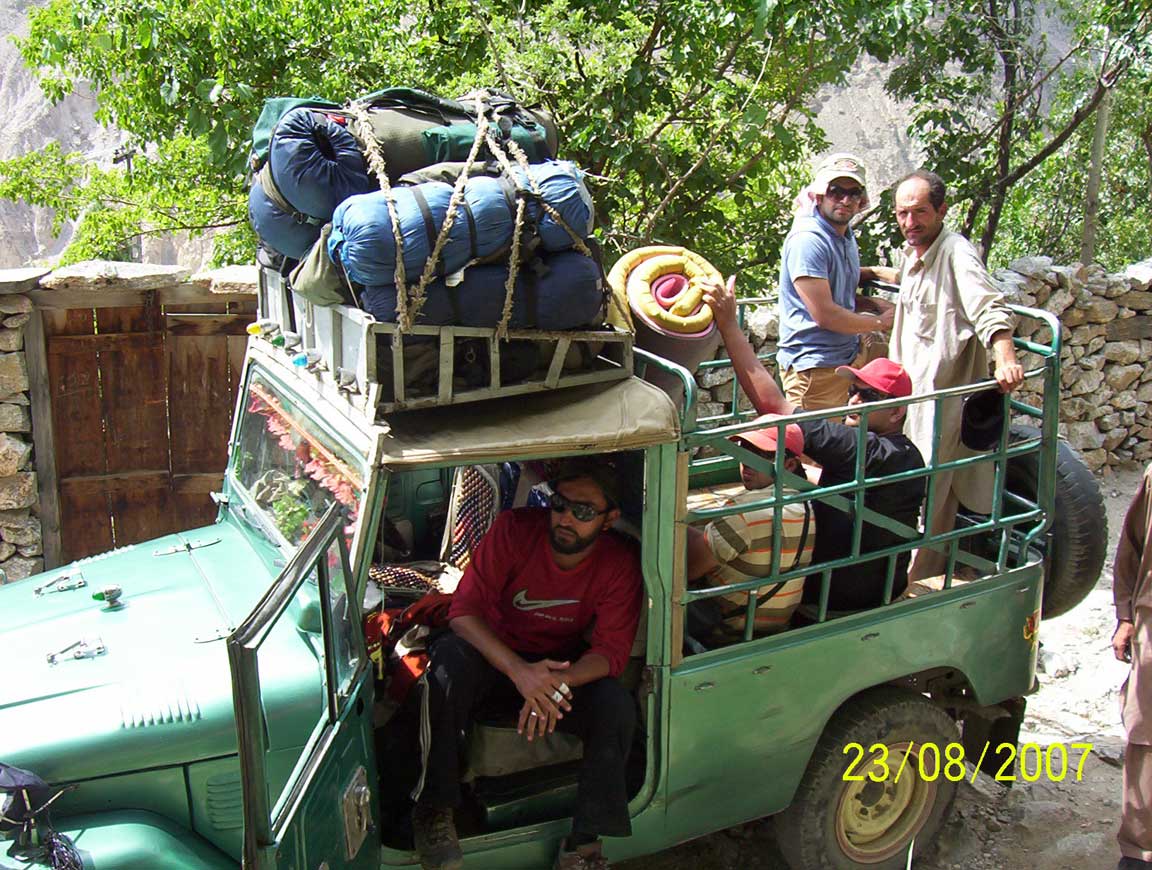
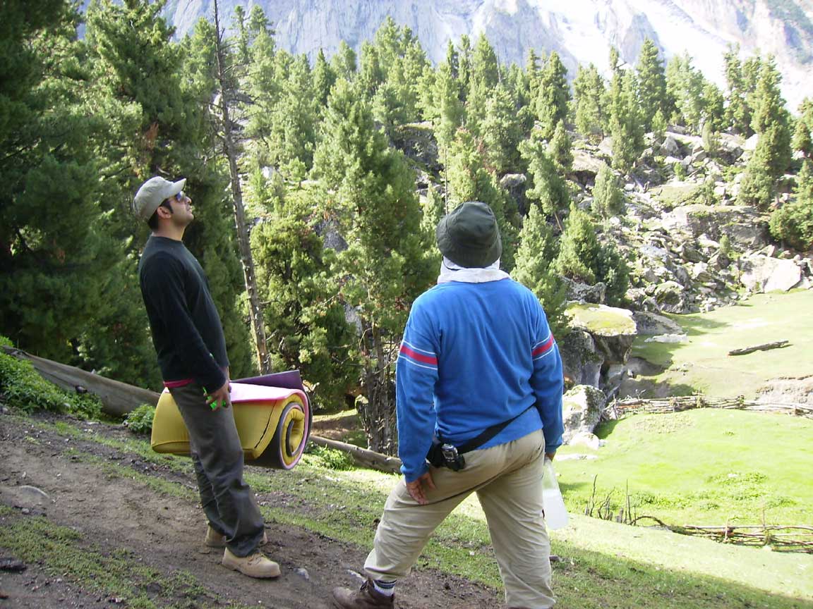
Prepration for the day hike to kutwal
|

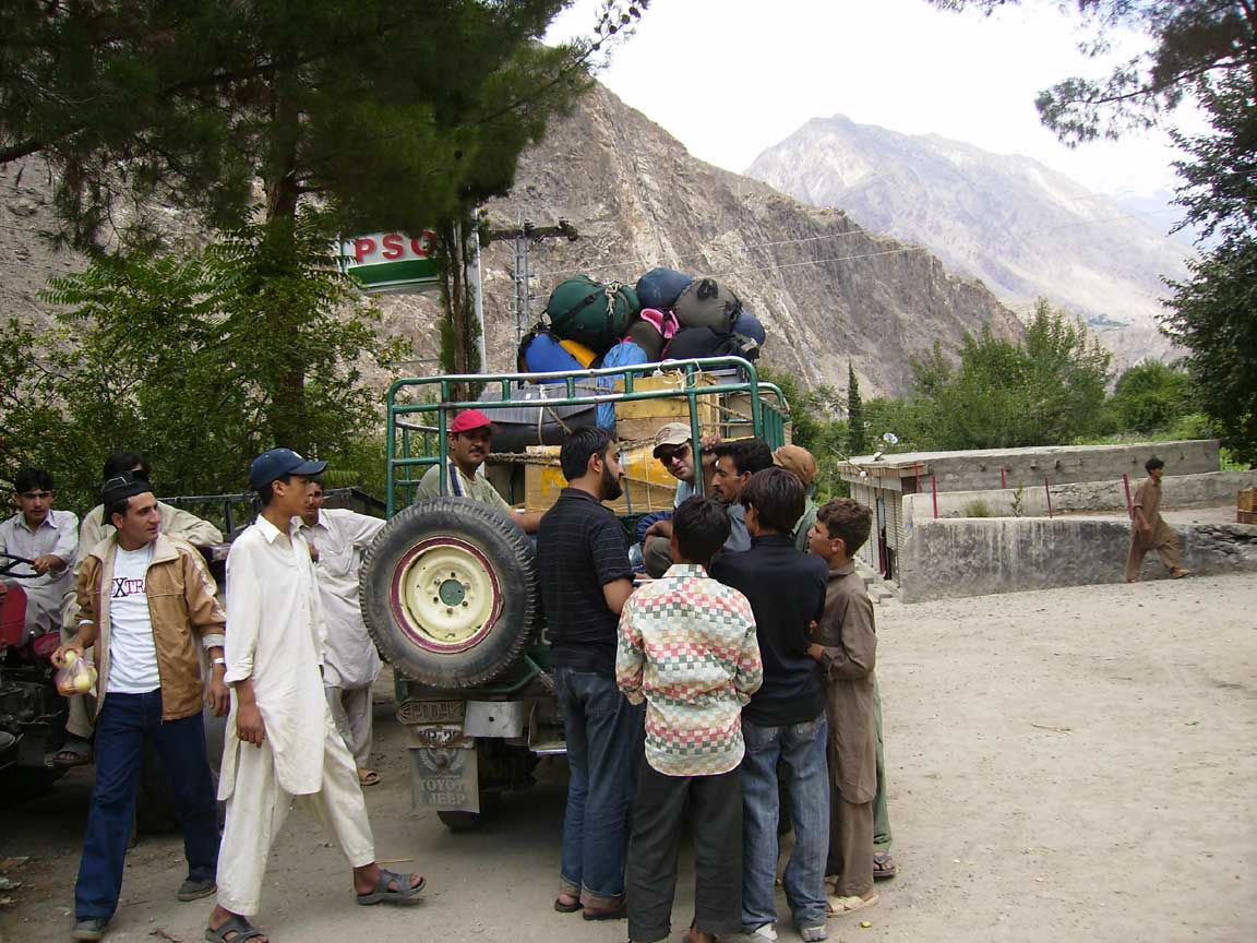
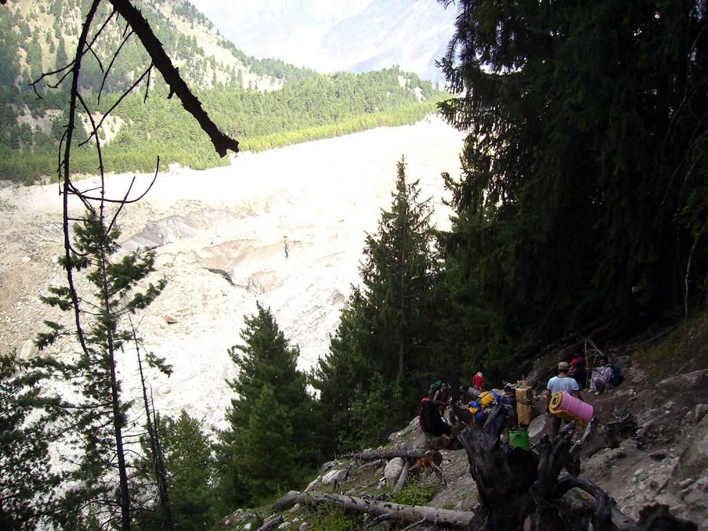
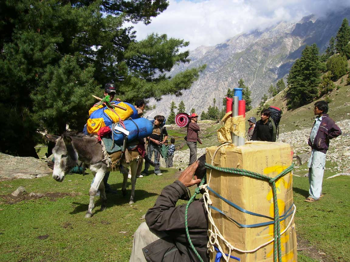
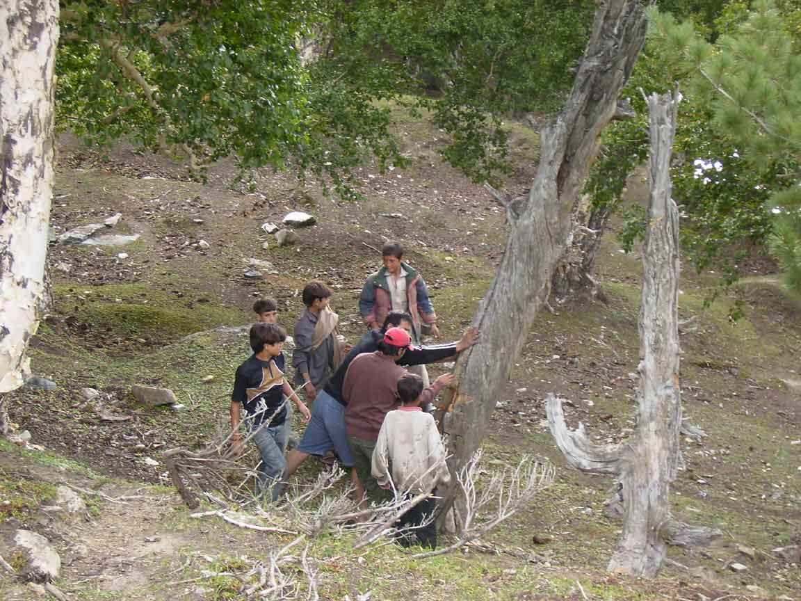
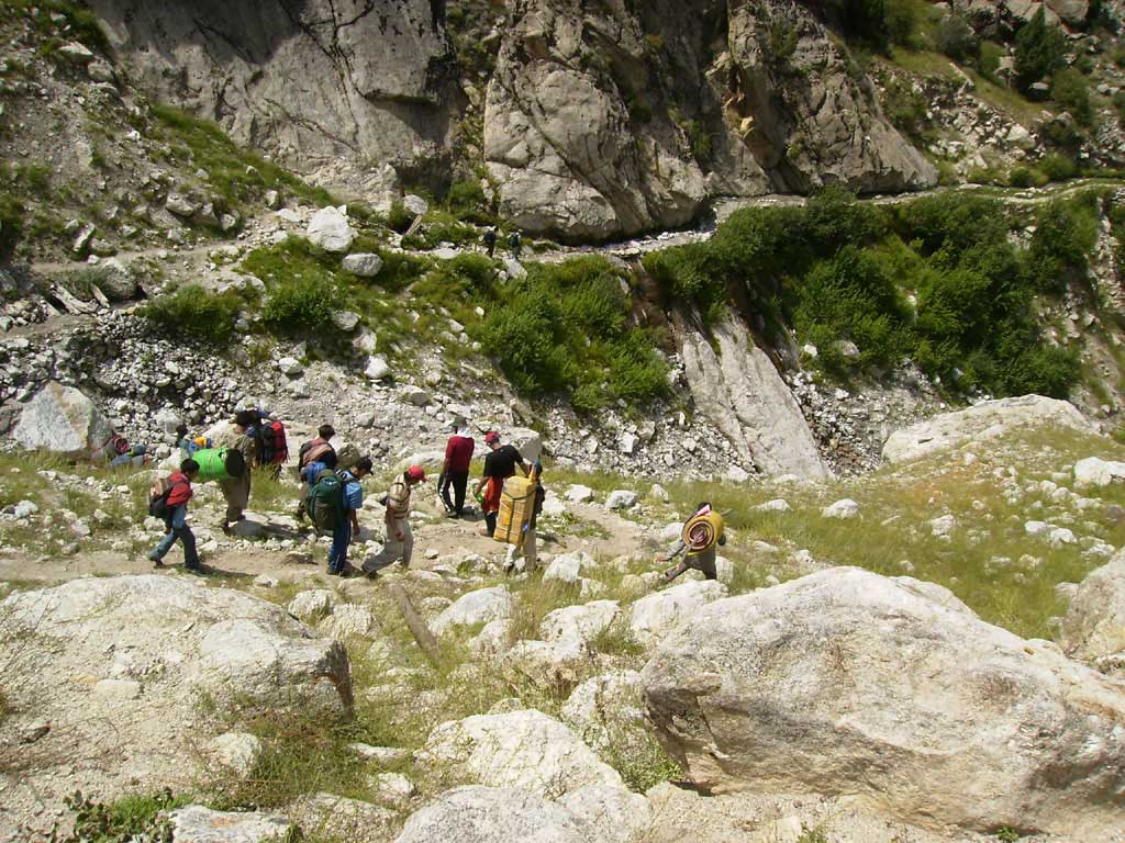
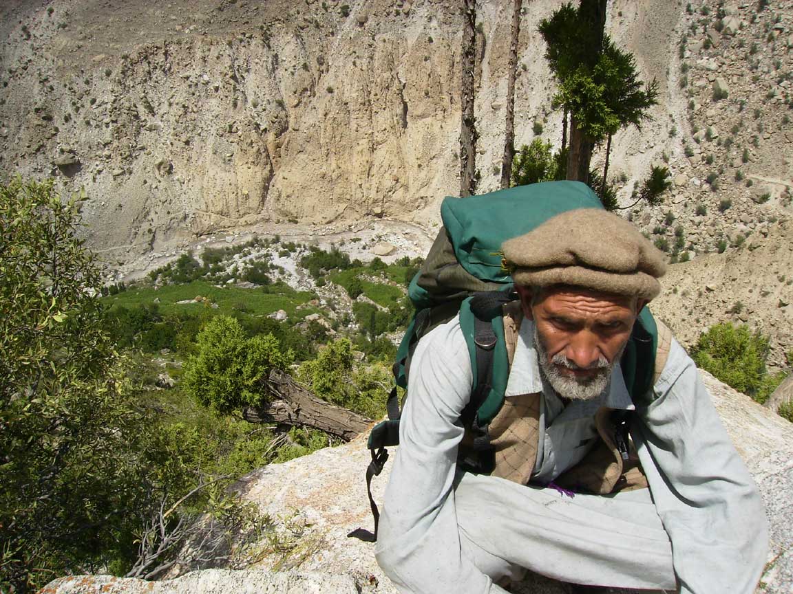
Porters
carry less weight(15kg)as
compare to porters in other areas(25kgs)
|

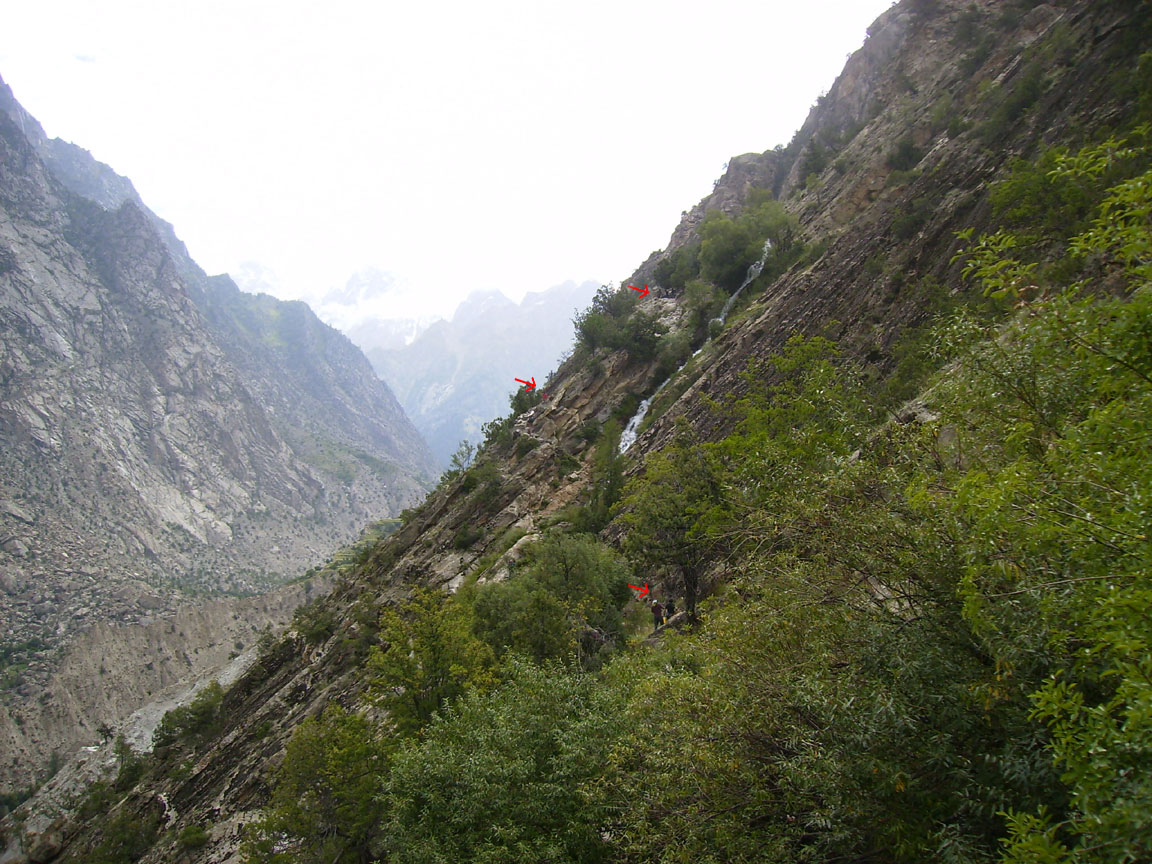
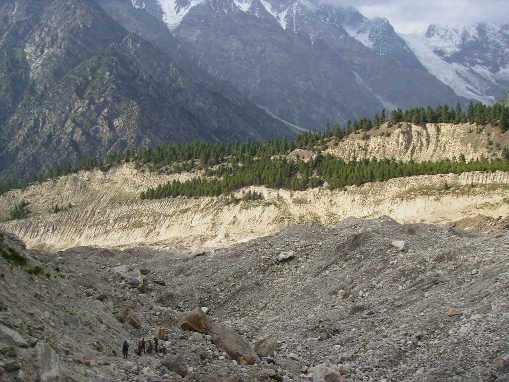
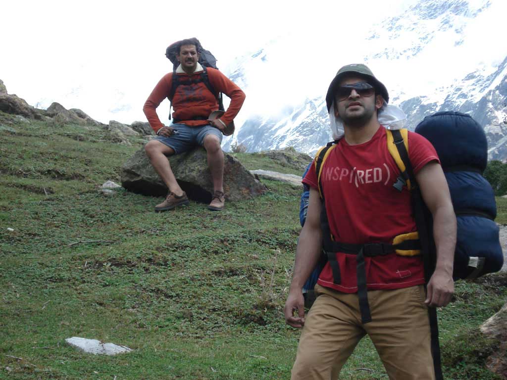
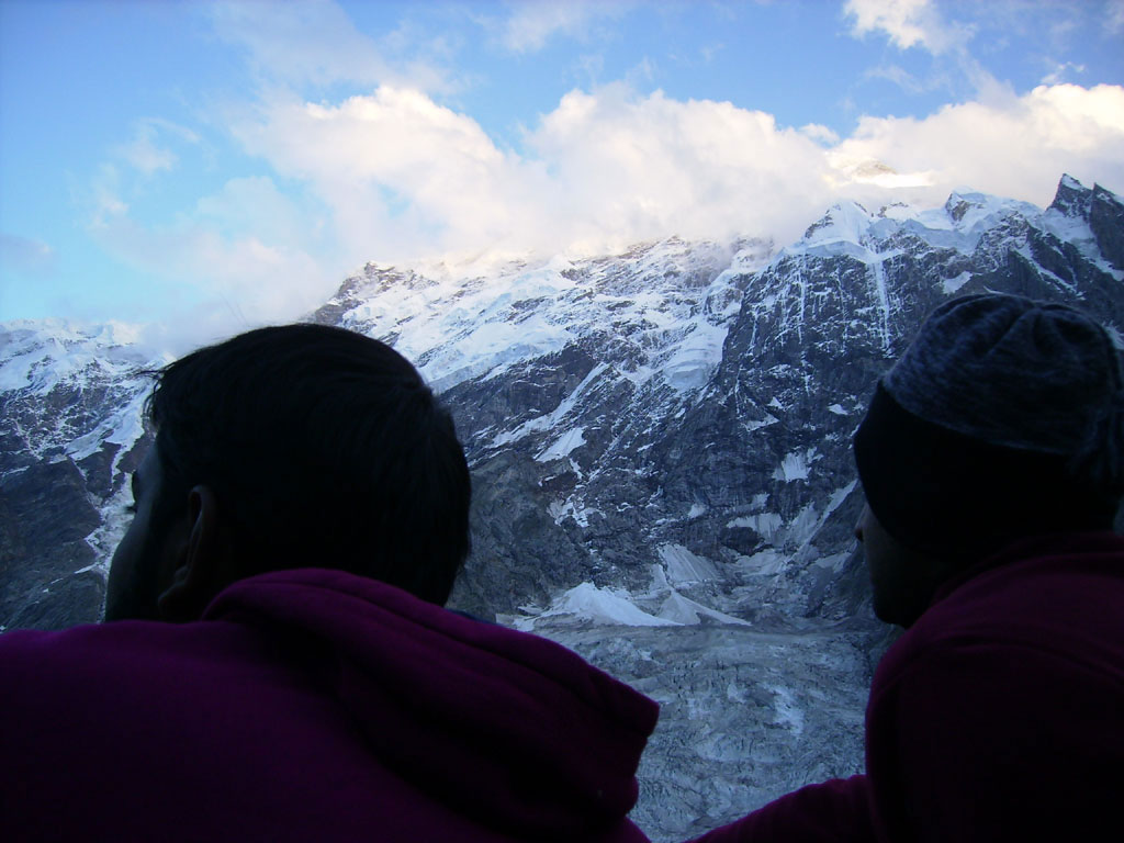
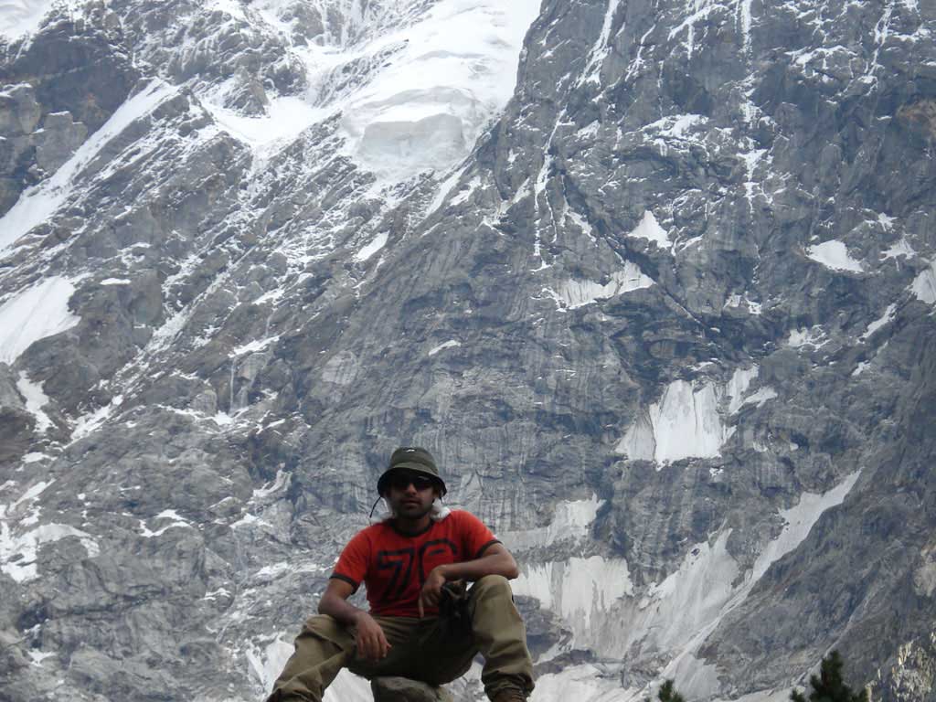
Steep Climb before
Iskere
Village. Be
careful–
Dangerous
- climb slowly |